Aileen Kenney /
Ørsted U.S. Offshore Wind
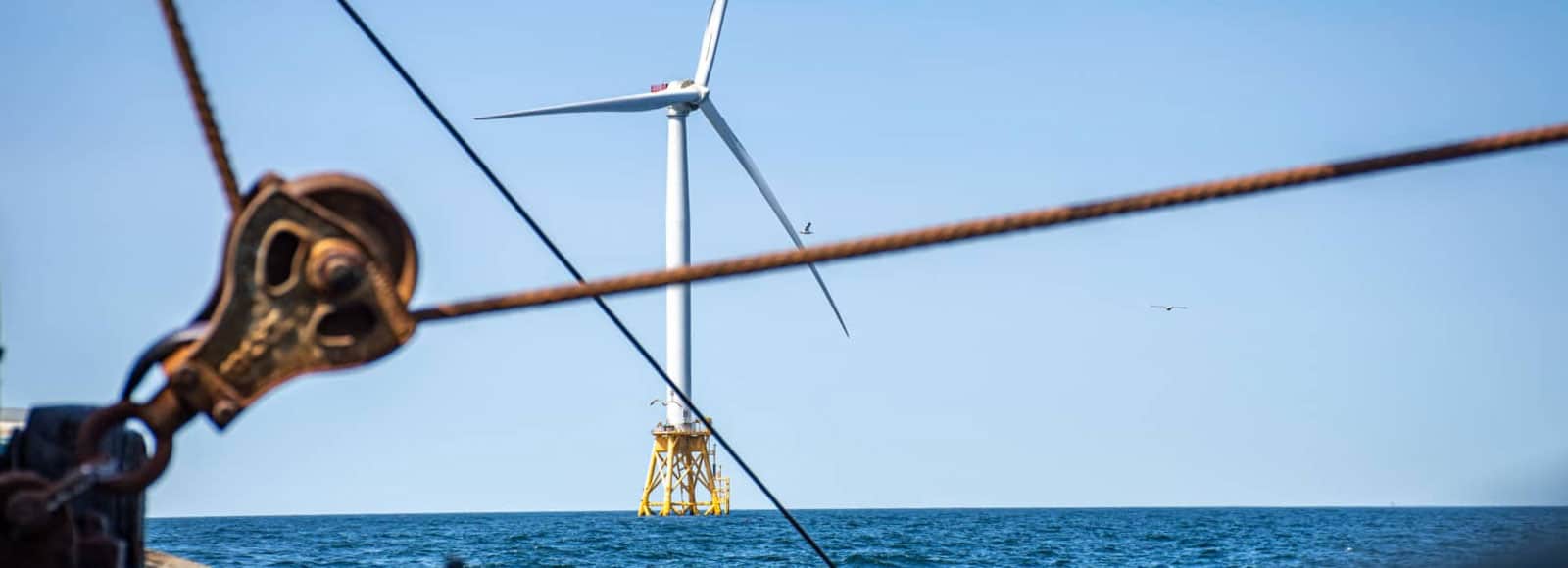
Our company has implemented nearly 500 marine science projects across North America, Europe, Asia, Australia, and Africa. These projects characterize marine and freshwater systems, providing critical insights for sustainable development and management. Our global reach highlights our commitment to impactful marine science solutions.
“INSPIRE is unique among consulting firms due to their attention to detail and the thoughtful way they present the data they collect and analyze.”Aileen Kenney /Ørsted U.S. Offshore Wind