Publications
Expertise
Sector


Videos |
2.18.26
Why SPI?
Learn more about the benefits of using SPI (Sediment Profile Imaging) technology.

Videos |
2.17.26
Sediment Profile Imaging Camera – How It Works
Learn more about how the SPI (Sediment Profile Imaging) camera works.
Brochures |
7.11.25
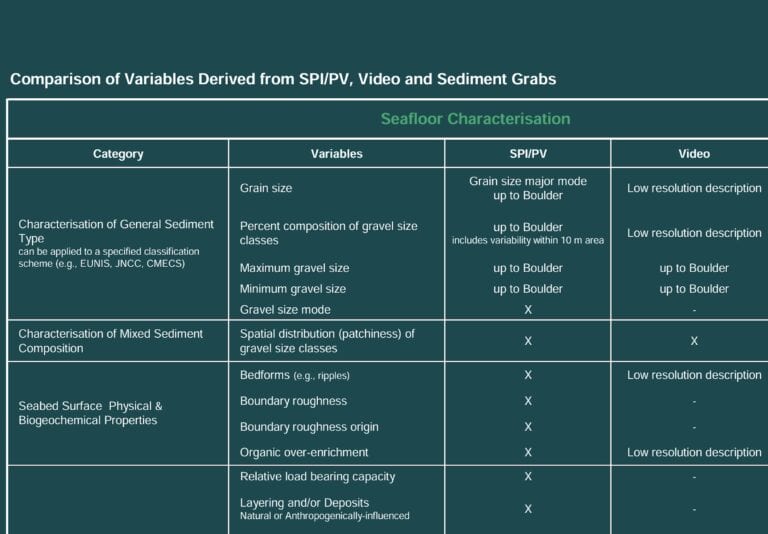
Comparison of Variables Derived from SPI/PV, Video and Sediment Grabs

Brochures |
7.11.25
Benthic Procurement Strategy
Benthic surveys are often bundled into larger geophysical or geotechnical campaigns and treated as minor procurement decisions. But these “minor” choices can carry hidden consequences.
Brochures |
7.11.25
Innovative Benthic Surveying
Delivering superior results at similar or lower cost, SPI/PV offers and ideal solution for offshore energy siting, permitting, and ecological monitoring.
Story Maps |
2.17.25
Operations and Marine Resource Monitoring
Publications |
12.18.24
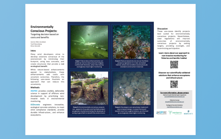
Environmentally Conscious Projects
INSPIRE provides credible, defensible science in support of offshore wind development by prioritizing non-invasive tools in environmental monitoring.
Publications |
12.18.24
Inventory and comparative evaluation of seabed mapping, classification and modeling activities in the Northwest Atlantic, USA to support regional ocean planning
Efforts are in motion globally to address coastal and marine management needs through spatial planning and concomitant seabed habitat mapping. Contrasting strategies are often evident in these processes among local, regional, national and international scientific approaches and policy needs.
Brochures |
9.10.24
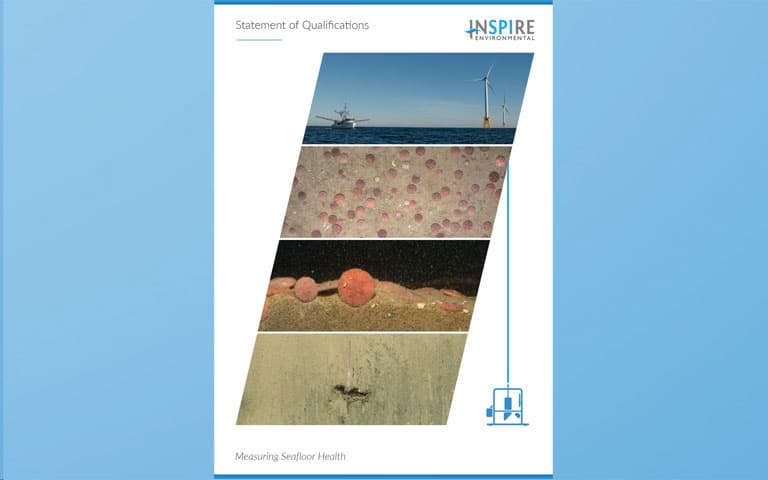
INSPIRE’s Statement of Qualifications (SOQ)
Seeing is believing, and since the earliest days of oceanography, marine scientists have sought to accurately represent and understand the complex ecology of the seafloor. Interpreting data from grab samples and cores, scientists have attempted to tell a complete story of the largest ecosystem on earth. However, removed from context, these samples can misinform seafloor monitoring programs and underrepresent the complex dynamics of the seafloor