Publications
Expertise
Sector
Publications |
8.9.15
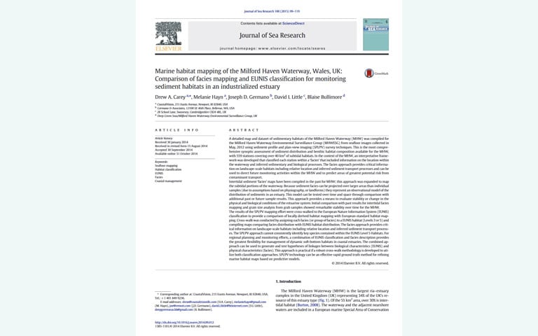
Marine habitat mapping of the Milford Haven Waterway, Wales, UK
A detailed map and dataset of sedimentary habitats of the Milford Haven Waterway (MHW) was compiled for the Milford Haven Waterway Environmental Surveillance Group (MHWESG) from seafloor images collected in May, 2012 using sediment-profile and plan-view imaging (SPI/PV) survey techniques.
Publications |
6.9.11
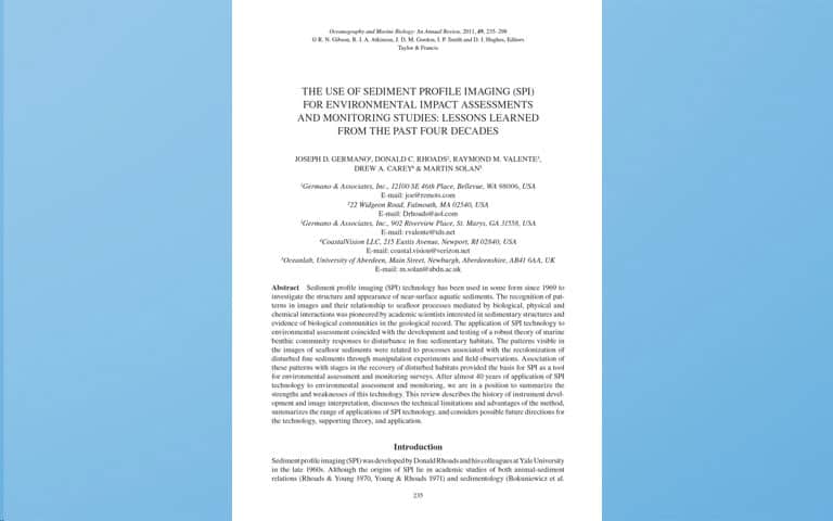
The use of Sediment Profile Imaging (SPI) for environmental impact assessments and monitoring studies
Sediment profile imaging (SPI) technology has been used in some form since 1969 to investigate the structure and appearance of near-surface aquatic sediments.
Publications |
6.1.04
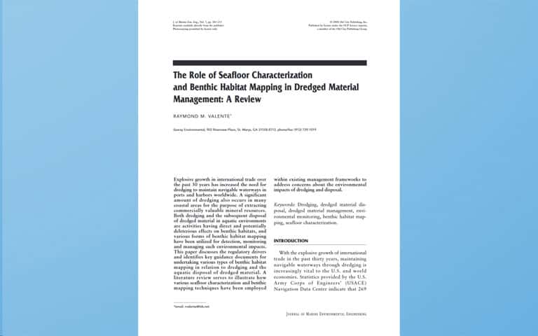
The Role of Seafloor Characterization and Benthic Habitat Mapping in Dredged Material Management: A Review
Explosive growth in international trade over the past 30 years has increased the need for dredging to maintain navigable waterways in ports and harbors worldwide.
Publications |
6.6.99
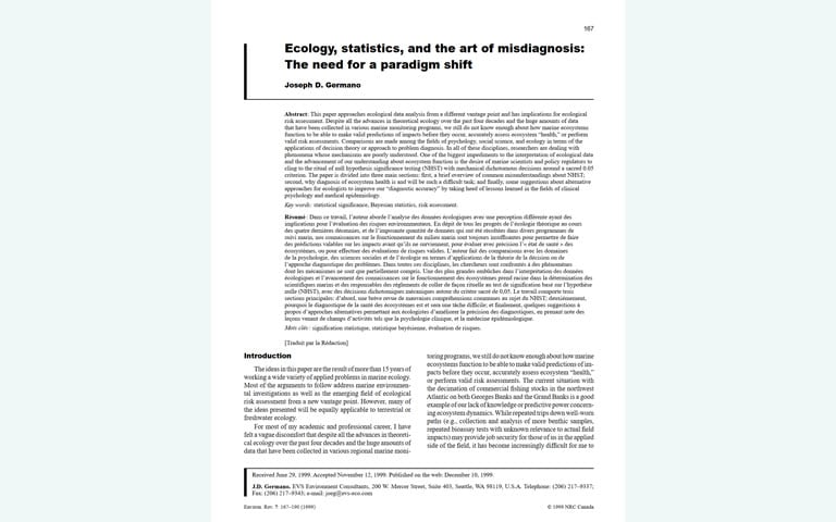
Ecology, statistics, and the art of misdiagnosis: The need for a paradigm shift
Publications |
9.9.86
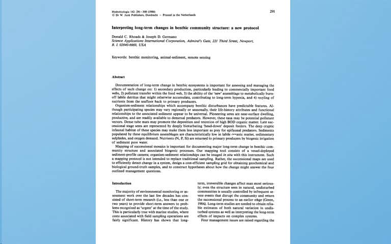
Interpreting long-term changes in benthic community structure: a new protocol
Documentation of long-term change in benthic ecosystems is important for assessing and managing the effects of change.
Publications |
9.9.82
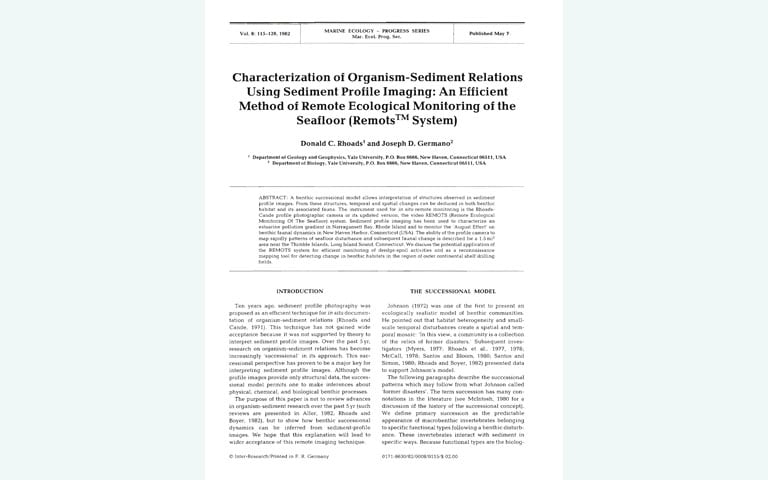
Characterization of Organism-Sediment Relations Using Sediment Profile Imaging: An Efficient Method of Remote Ecological Monitoring of the Seafloor
Ten years ago, sediment profile photography was proposed as an efficient technique for in situ documentation of organism-sediment relations (Rhoads and Cande, 1971). This technique has not gained wide acceptance because it was not supported by theory to interpret sediment profile images.