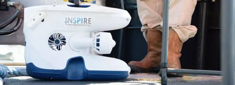
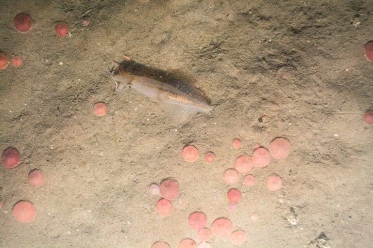
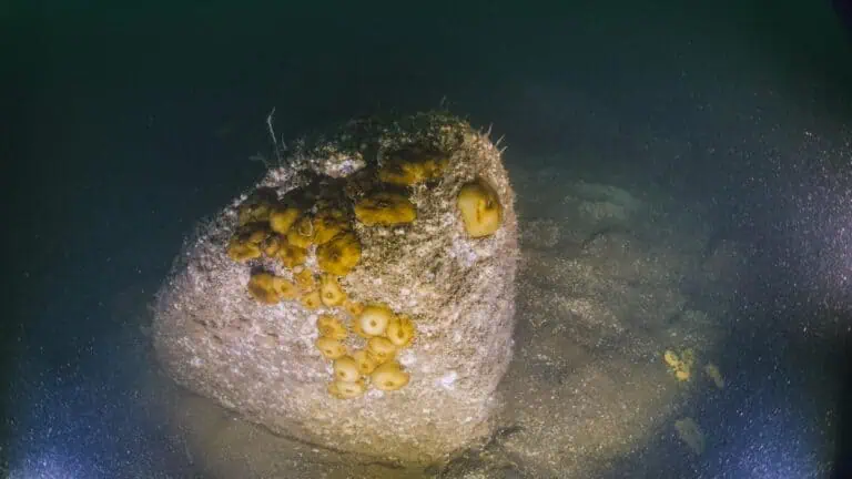
Dredged Material
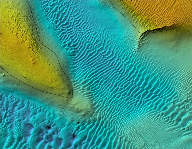
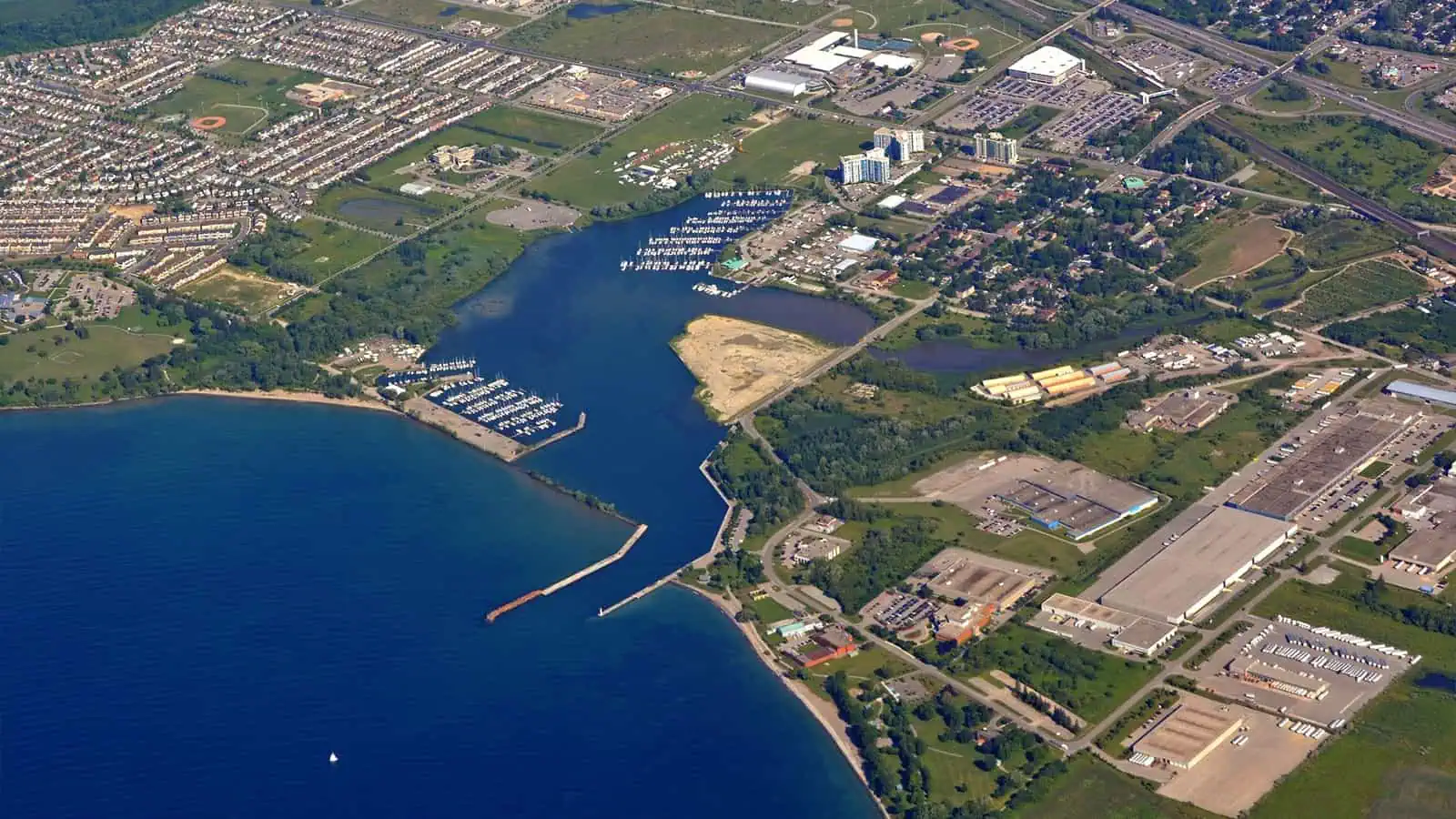
Mapping Milford Haven Waterway
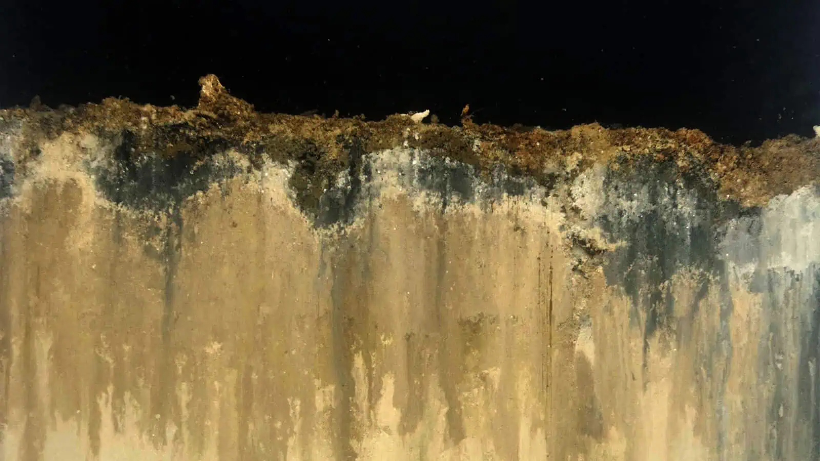
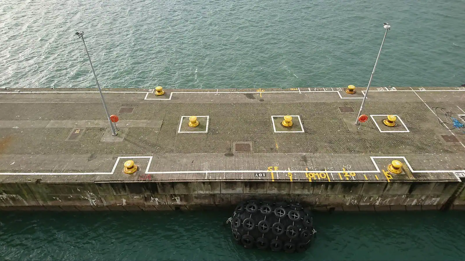
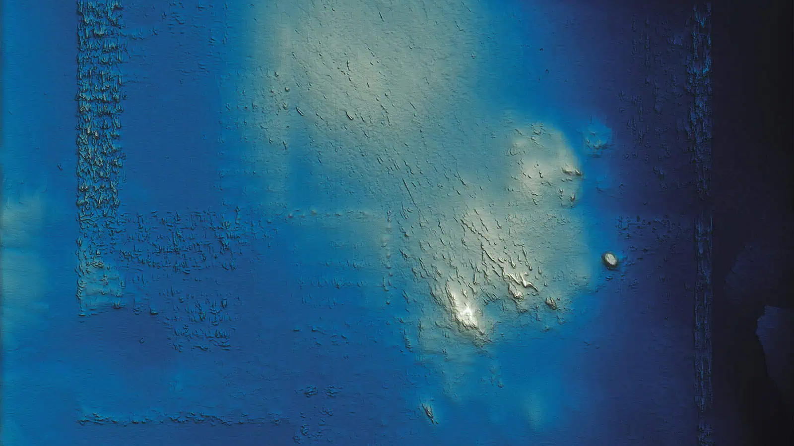
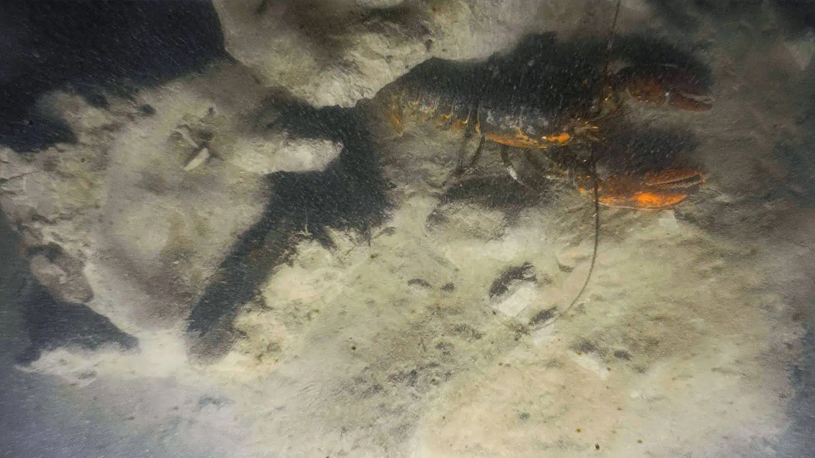
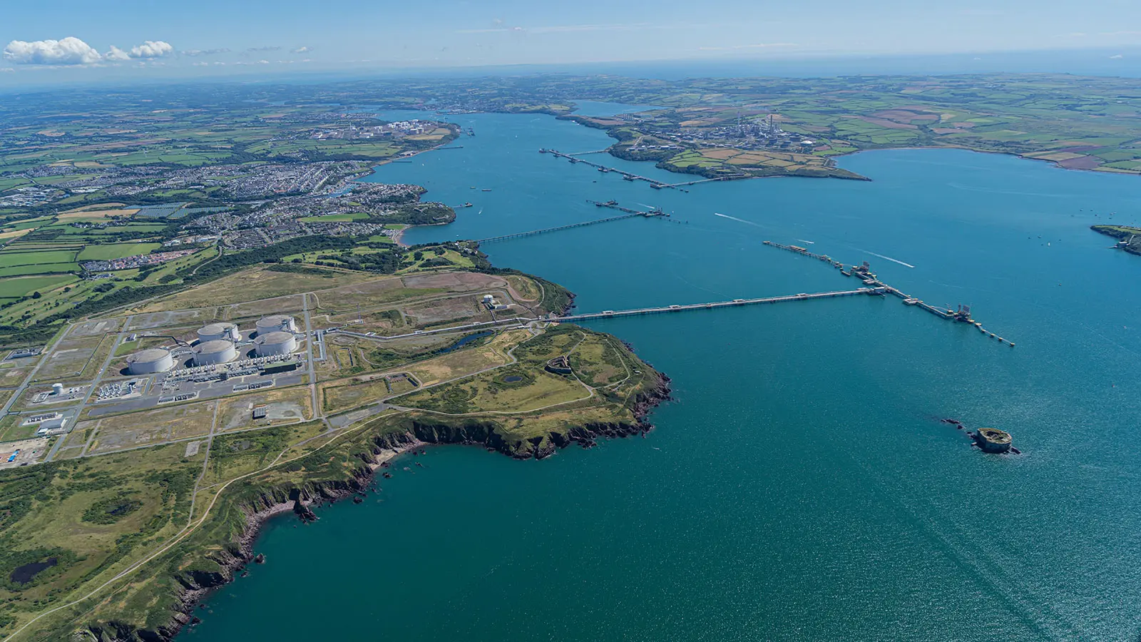
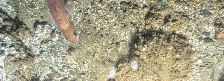
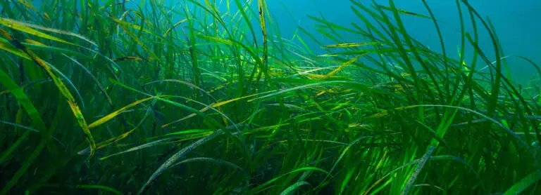
Milford Haven Waterway is a natural harbour in Pembrokeshire, Wales. A detailed map and dataset of sedimentary habitats of the Milford Haven Waterway was compiled for the Milford Haven Waterway Environmental Surveillance Group from seafloor images collected using sediment profile and plan view imaging (SPI and PV) survey techniques.
Interpretive Framework for Sedimentary and Biological Processes
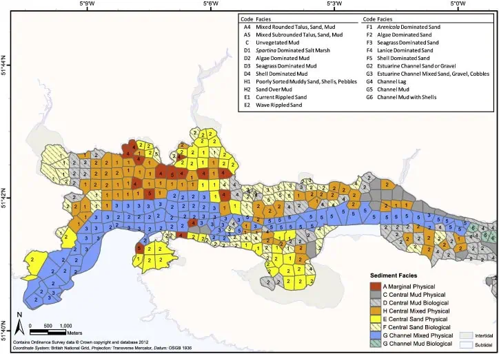
An interpretative framework was developed that classified each station within a ‘facies’ that included information on the location within the waterway and inferred sedimentary and biological processes. The facies approach provides critical information on landscape-scale habitats, including relative location and inferred sediment transport processes, and it can be used to direct future monitoring activities within the Milford Haven Waterway and to predict areas of greatest potential risk from contaminant transport. Intertidal sediment ‘facies’ maps have been compiled in the past for Milford Haven Waterway; this approach was expanded to map the subtidal portions of the waterway. Because sediment facies can be projected over larger areas than individual samples (due to assumptions based on physiography, or landforms), they represent an observational model of the distribution of sediments in an estuary.
Habitat Mapping
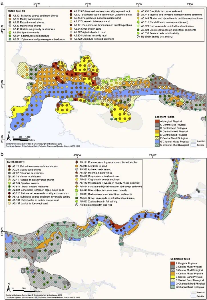
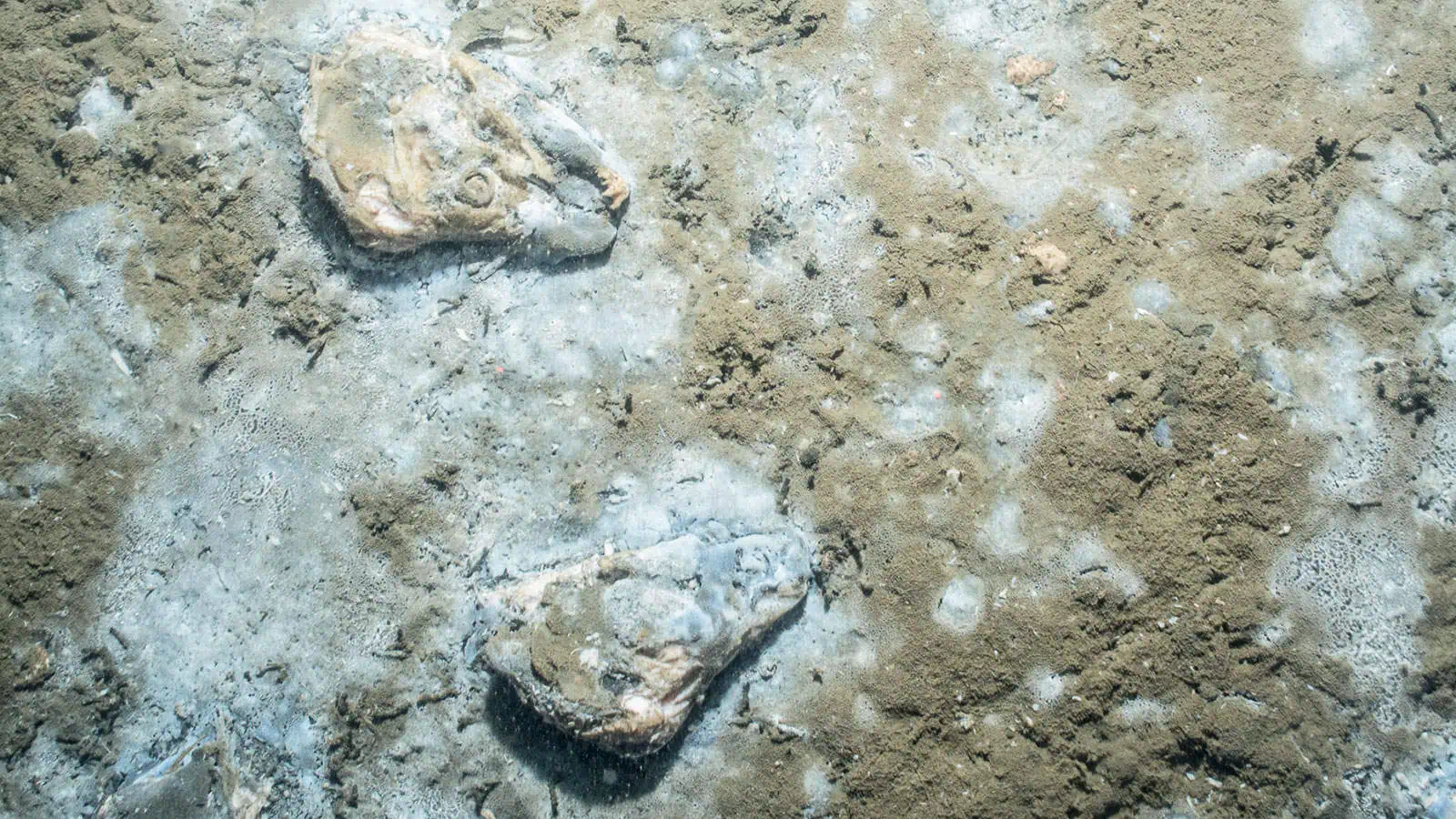
This model can be tested over time and space through comparison with additional past or future sample results. This approach provides a means to evaluate stability or change in the physical and biological conditions of the estuarine system. Initial comparison with past results for intertidal facies mapping and grain size analysis from grab samples showed remarkable stability over time for the Milford Haven Waterway. The results of the SPI/PV mapping effort were cross-walked to the European Nature Information System (EUNIS) classification to provide a comparison of locally derived habitat mapping with European-standard habitat mapping.
Interested in speaking with us about your projects?
Contact INSPIRE Environmental today for additional Information about our services

Mapping Seafood Waste Impacts