Why SPI?
Learn more about the benefits of using SPI (Sediment Profile Imaging) technology.
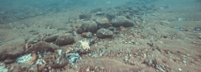
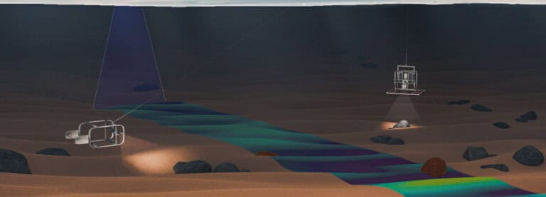
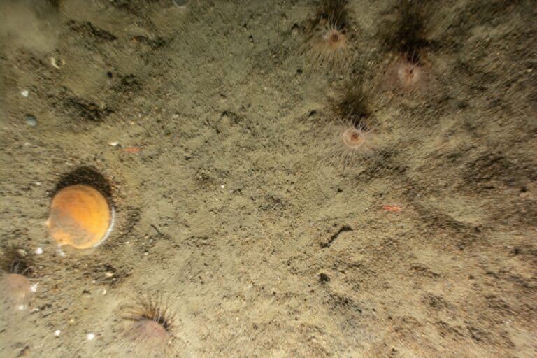
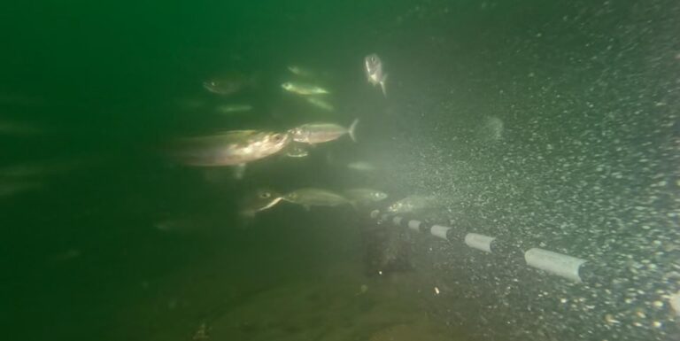
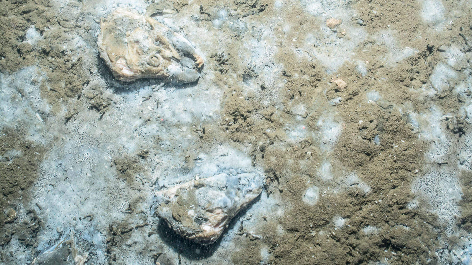
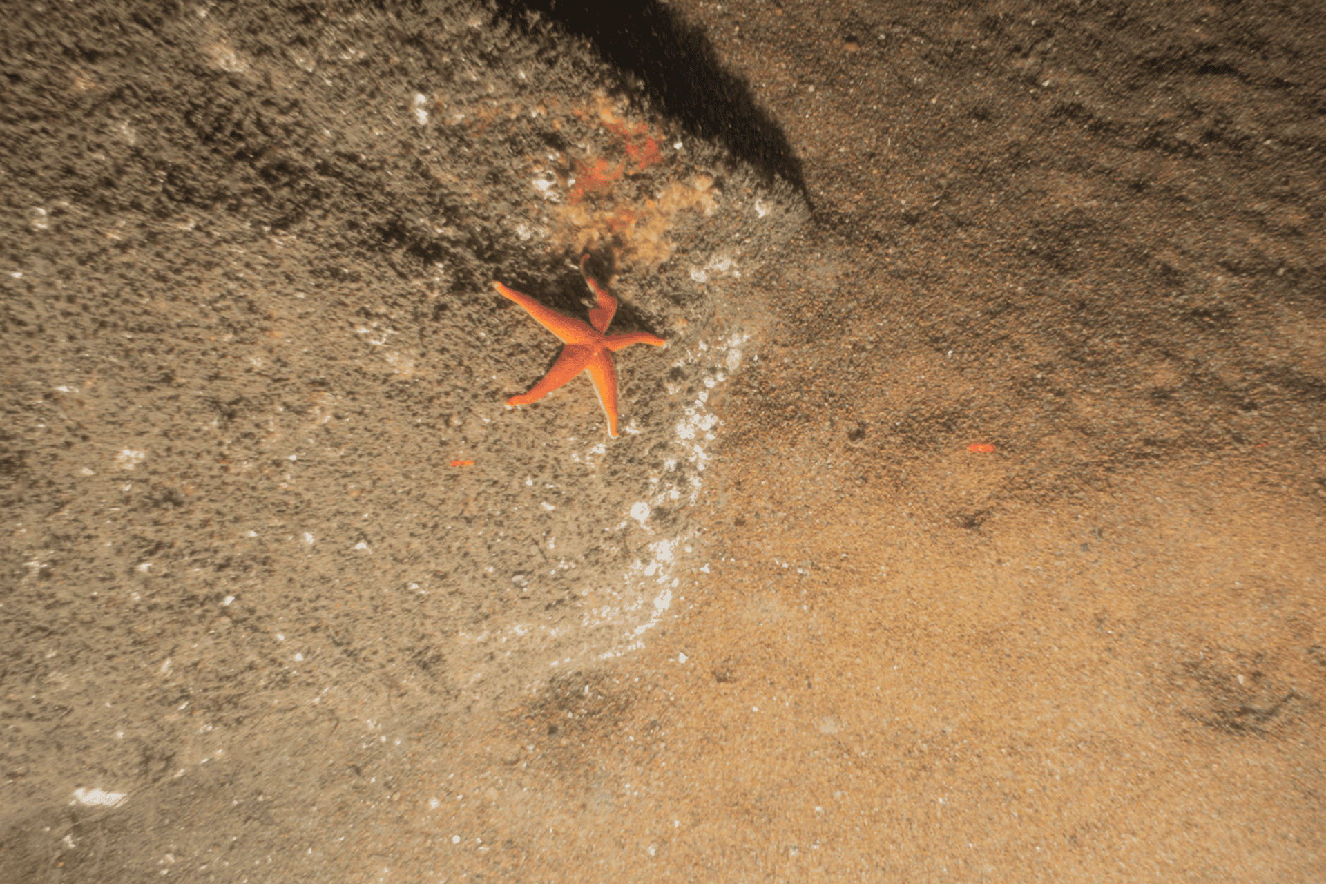
SPI/PV surveys combine traditional drop-camera technology (PV) with novel optical cores of the seafloor (SPI) to allow for rapid data acquisition during field sampling (the camera is literally “pogo-sticked” across the seafloor), and the collection of a robust data set of images where seafloor features are quantified to assess benthic health and function. This ecological information is then conveyed in a format that most people can easily understand: a picture.

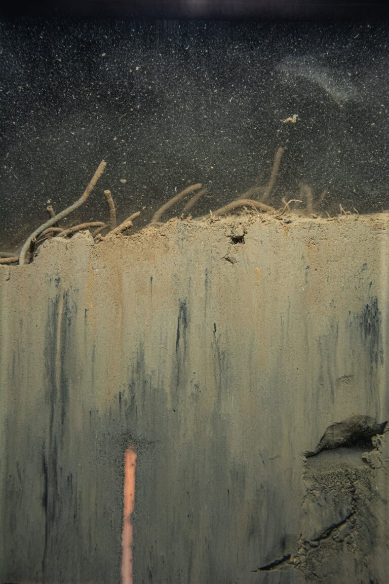
SPI/PV is a powerful and non-extractive approach for benthic habitat assessment that distinguishes itself from traditional benthic community sampling (grabs) by providing an integrated, multi-dimensional view of the benthic and geological condition of seafloor sediments.
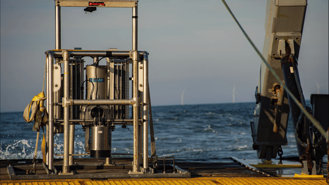
This approach allows for rapid data collection as the system can be towed between stations and multiple SPI/PV replicates are captured per station (in approximately 5 minutes). This approach also allows for robust science as SPI/PV technology was developed in the 1970s and since then extensive scientific theories on benthic interpretation of SPI have been published in peer-reviewed literature (Germano et al. 2011).
Our scientists invented SPI/PV technology, and our team offers the most experienced SPI/PV service available. We can provide SPI/PV surveys independently or in conjunction with geotechnical and geophysical surveys. Our benthic and cultural resource team work closely with data collected from such integrated surveys to offer a suite of holistic interpretations of the seafloor and marine archaeological resources, serving construction design and regulatory needs.
This low-impact, image-based approach minimizes habitat disruption, making it especially well-suited for sensitive habitats.


Learn more about the benefits of using SPI (Sediment Profile Imaging) technology.
Delivering superior results at similar or lower cost, SPI/PV offers and ideal solution for offshore energy siting, permitting, and ecological monitoring.
Benthic surveys are often bundled into larger geophysical or geotechnical campaigns and treated as minor procurement decisions. But these “minor” choices can carry hidden consequences.