
Why SPI?
Learn more about the benefits of using SPI (Sediment Profile Imaging) technology.
We deliver defensible survey and monitoring data across offshore energy, dredged material management, aquaculture, coastal resilience, and infrastructure using the full toolbox of conventional and non-extractive methods, led by world-recognized expertise in marine resource assessment.


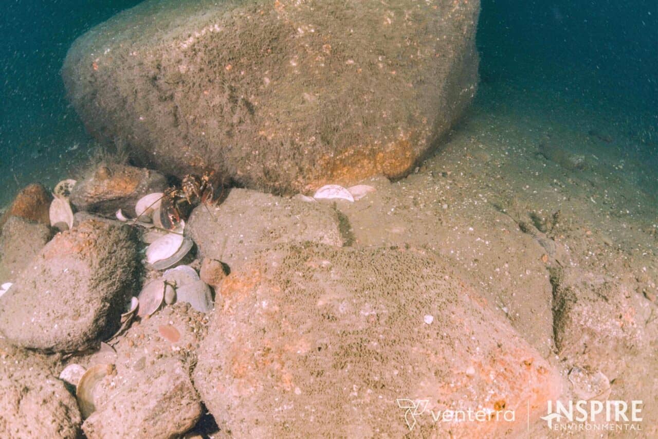
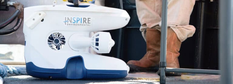
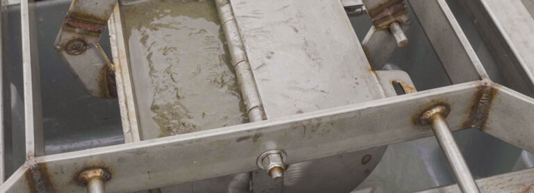
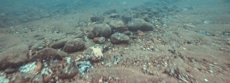
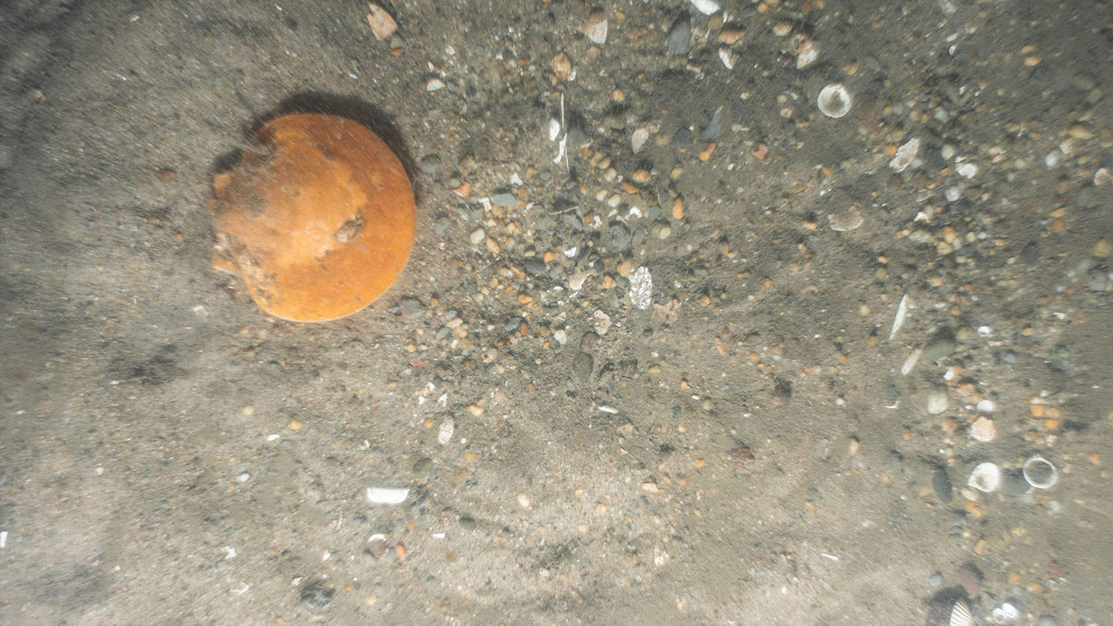
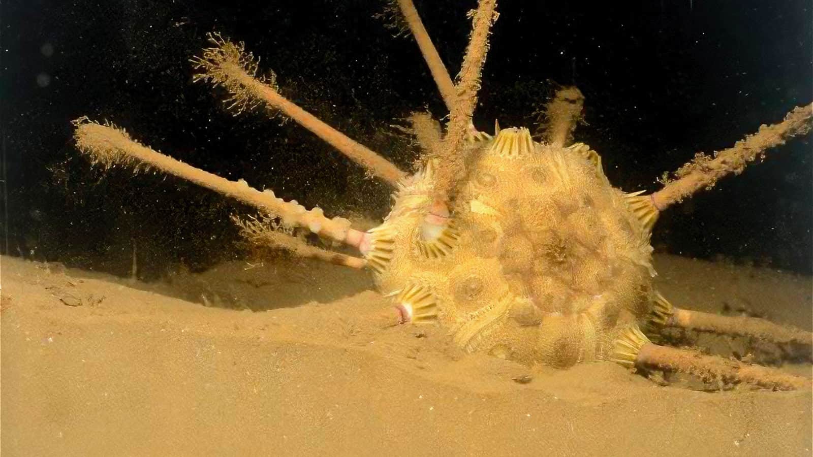
As the original developers of Sediment Profile Imaging (SPI), our staff brings unparalleled expertise in image-based benthic assessment utilizing: SPI – optical core images that replace grab sampling; Plan View Imaging (PV) – high-resolution aerial views of the seabed from drop-cameras; and images obtained via remotely operated vehicles (ROVs). While we are well-versed in non-extractive survey techniques, more importantly, we focus on selecting the right tool for your specific objectives, site conditions, and regulatory requirements. We draw from a full suite of non-extractive imaging and conventional sampling methods to ensure you receive efficient, defensible results tailored to your project.

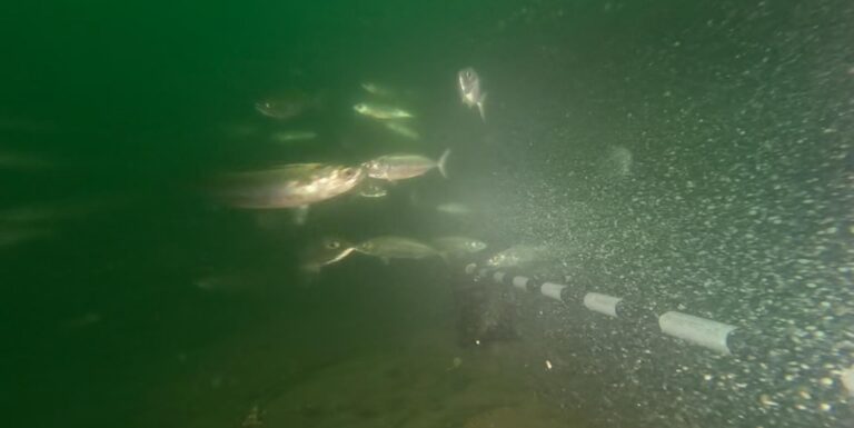
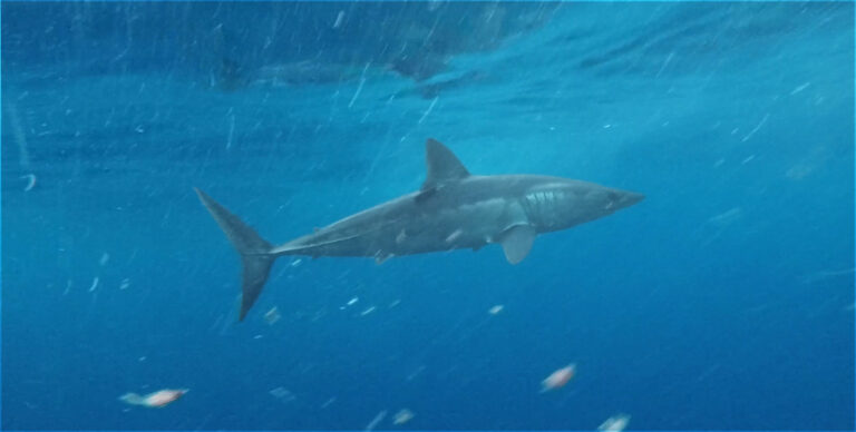
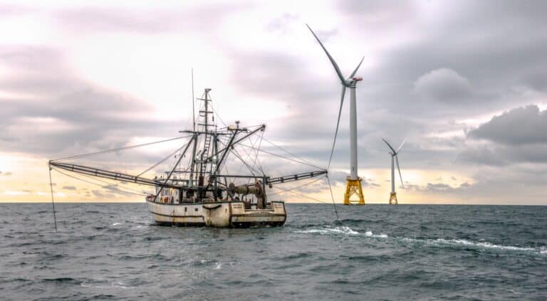
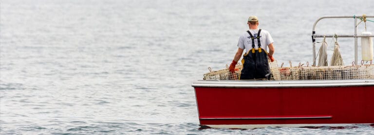
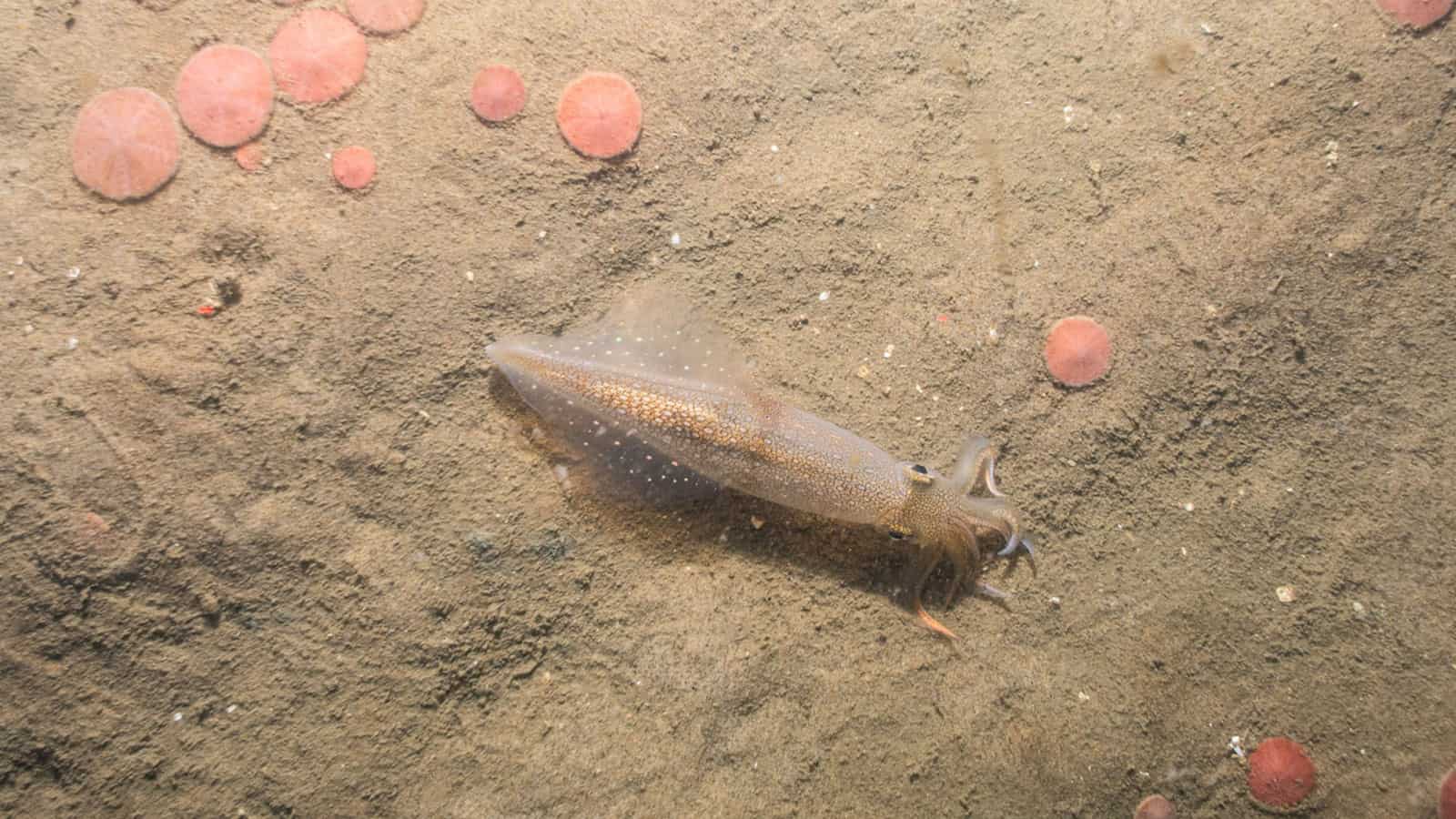
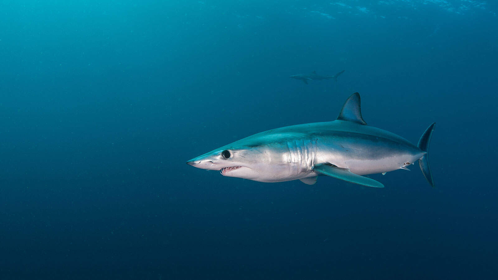
INSPIRE brings recognized leadership in fisheries data acquisition, including baited remote underwater video (BRUV) and acoustic telemetry. We deploy the full toolbox of non-extractive and conventional methods to characterize species presence, fishing activity, and habitat use, delivering defensible datasets for impact assessment, coexistence planning, and long-term monitoring across diverse marine environments.
INSPIRE delivers advanced, image-led inspection and monitoring of subsea and coastal assets using ROV video, acoustic tools, and complementary survey technologies. We generate high-quality condition datasets on structures, seabed interaction, and biological colonization to support asset owners, engineers, and regulators in risk-based maintenance, lifecycle planning, and compliance across complex marine environments.

Field Logistics Manager

Field Operations Manager
Learn more about the benefits of using SPI (Sediment Profile Imaging) technology.
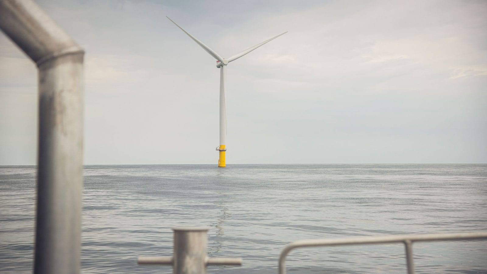
Learn more about our South Fork Wind benthic monitoring program.
Development of offshore wind (OSW) farms in the United States while minimizing impacts to fishery resources is a common goal of state and federal government agencies, environmental interest groups, and fisheries organizations.