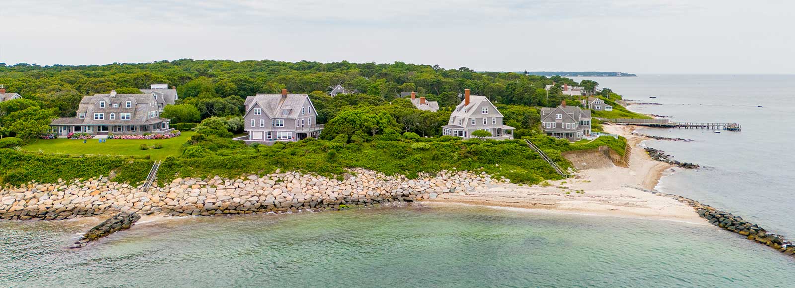
Baseline Benthic Survey in Support of a Bluff Stabilization Project
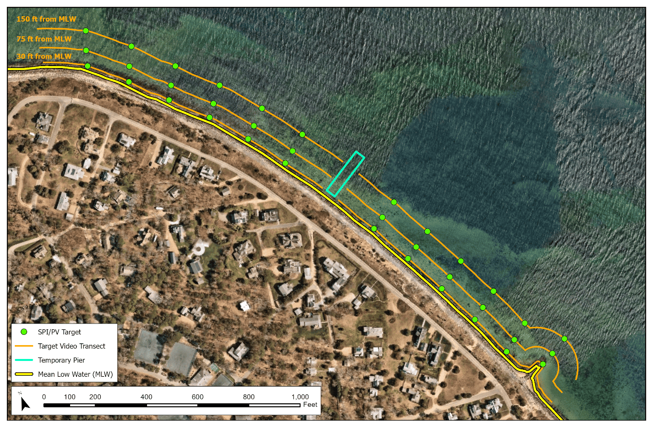
INSPIRE Environmental conducted a benthic baseline survey along a 2400-foot stretch of coastline and a temporary 250’ L x 40’ W pier in support of a Shoreline Restoration Project off the coast of Massachusetts. The survey effort was conducted to establish a benthic baseline in advance of shoreline stabilization activities (including the construction of a temporary pier). The results of the survey indicated a diverse benthic environment and supported the Project’s alternatives analysis and impact analysis.
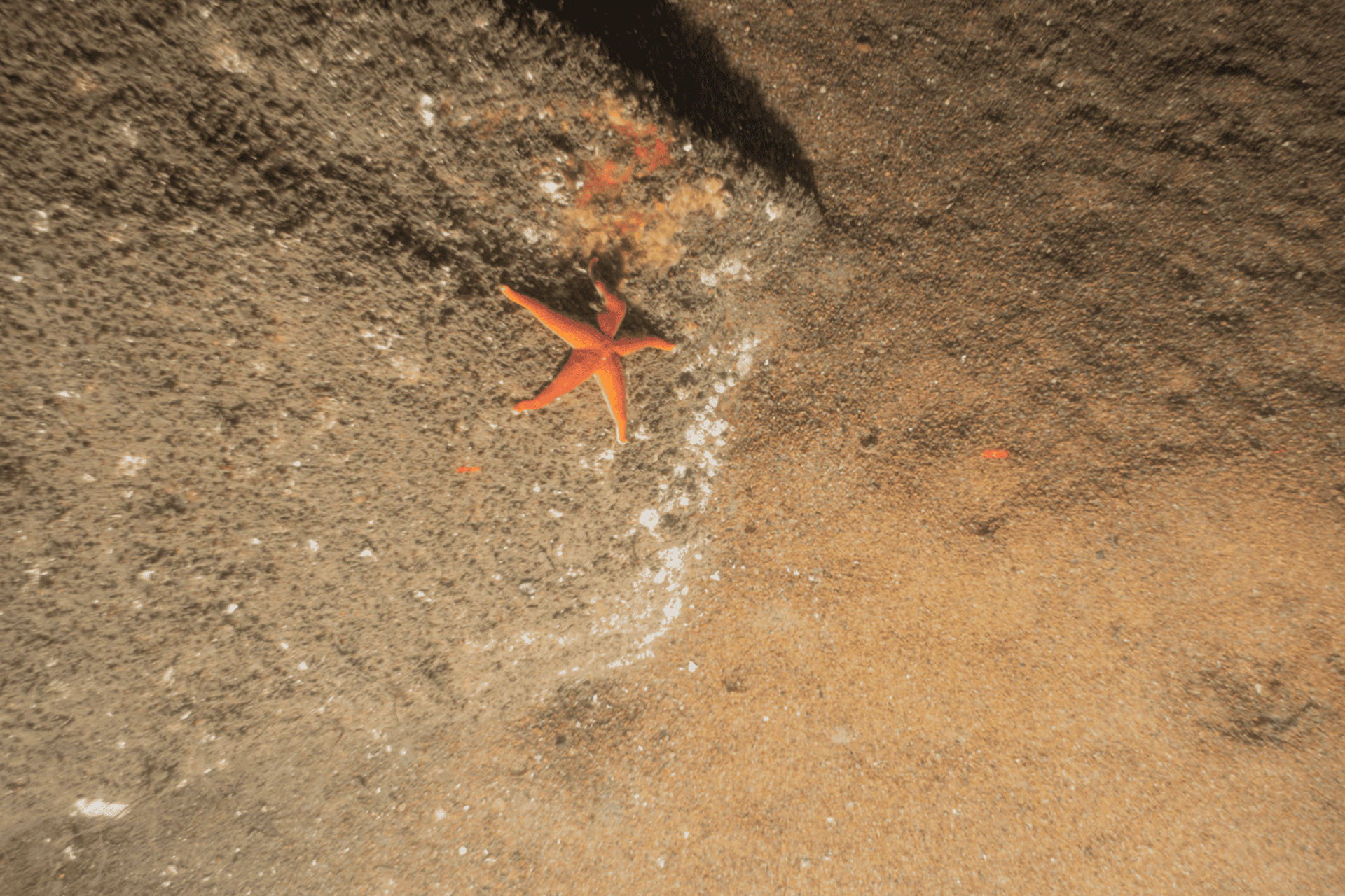
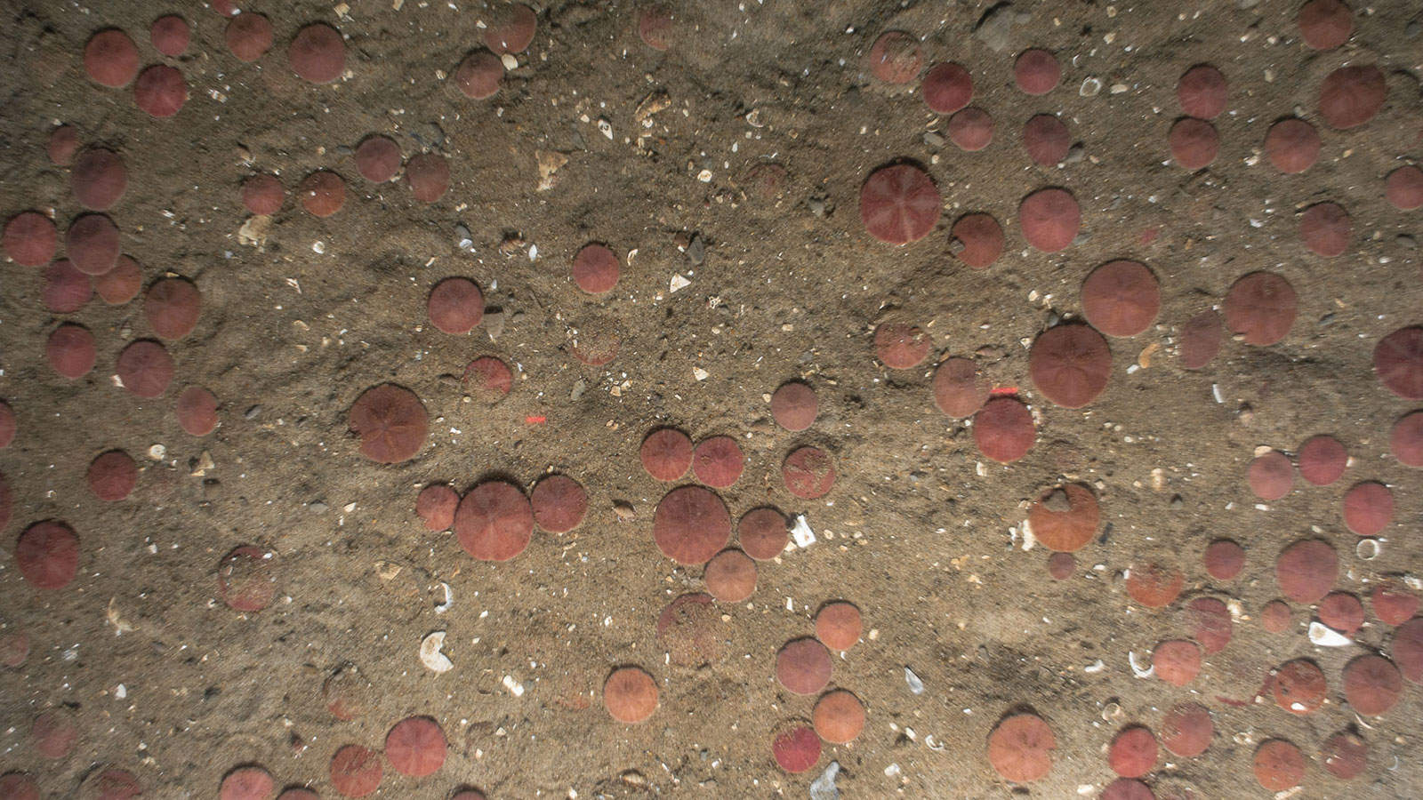
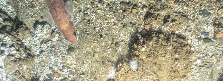
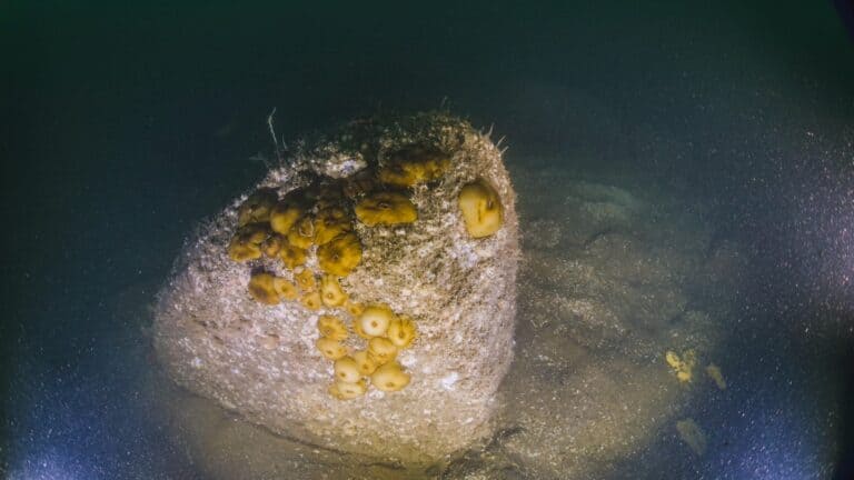
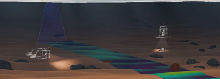
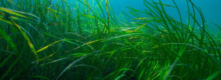
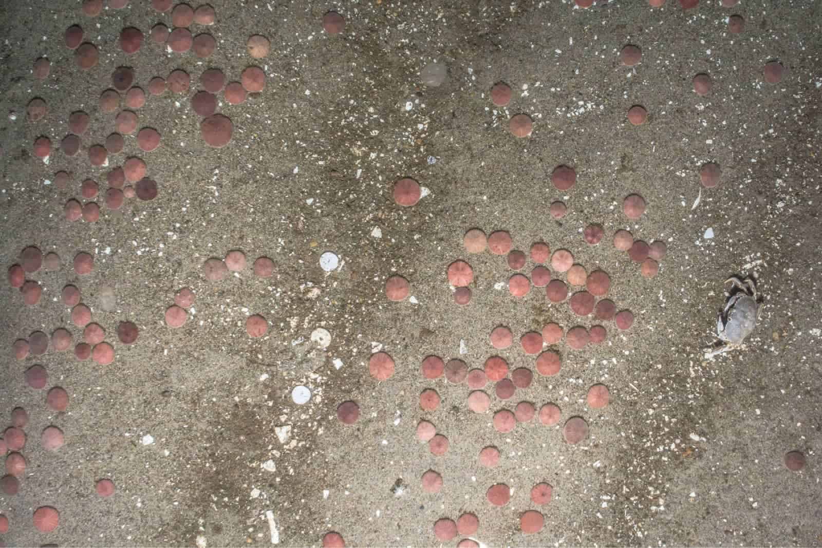
The survey included the collection of Sediment Profile and Plan View Imaging (SPI/PV), sediment grabs for Benthic Community Analysis (BCA), submerged aquatic vegetation (SAV) underwater towed video, and a shellfish assessment.
The specific objectives of the benthic survey were to:
- Determine the presence/absence of SAV in the Project area, through the use of underwater towed video.
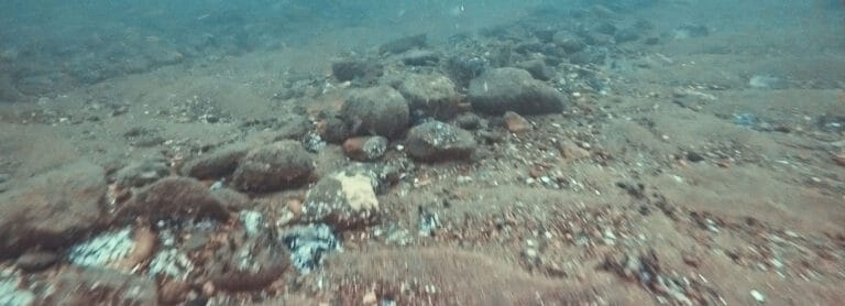
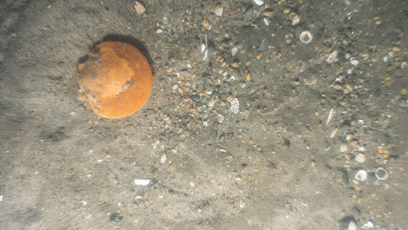
- Collect baseline benthic data (SPI/PV and sediment grabs) along the coastline at selected locations for benthic characterization.
- Conduct a shellfish assessment survey by raking transects at defined targeted areas to assess shellfish presence and document density.
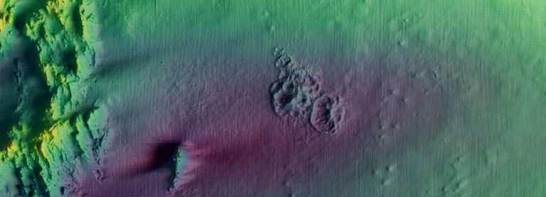
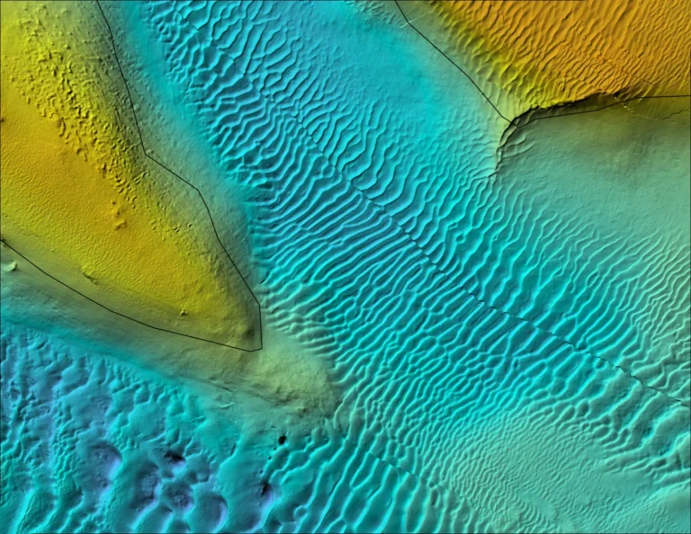
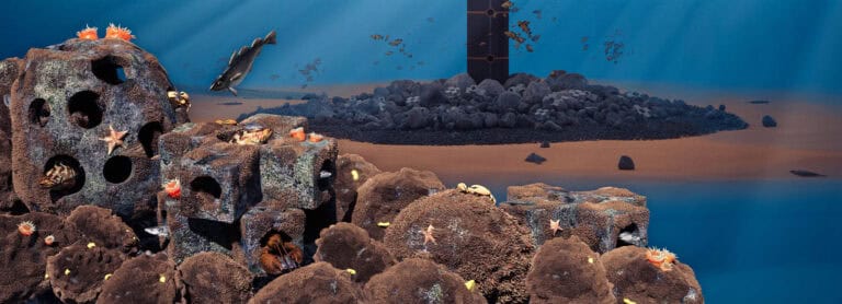
INSPIRE’s benthic ecologists analyzed and synthesized the data intoan interpretive report maps, summary tables, and habitat assessments. Results identified a structurally complex, biologically diverse benthic environment that will help guide shoreline stabilization design and environmental permitting. To support stakeholder engagement and data transparency, INSPIRE also developed a custom interactive Popup Map visualization tool that allows users to explore survey findings spatially and intuitively.
Interested in speaking with us about your projects?
Contact INSPIRE Environmental today for additional Information about our services


NYSERDA’s Offshore Wind – Master Plan 2.0