

Environmentally Conscious Projects
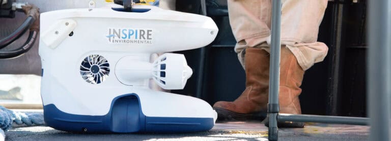
INSPIRE provides credible, defensible science in support of offshore wind development by prioritizing non-invasive tools in environmental monitoring.
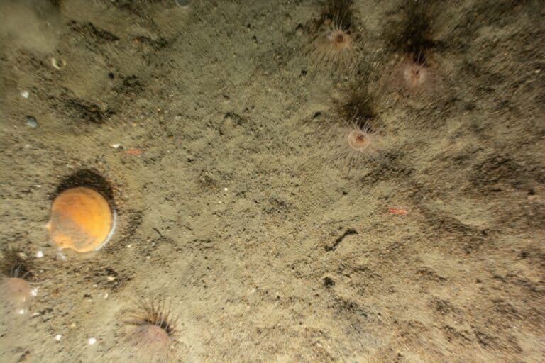
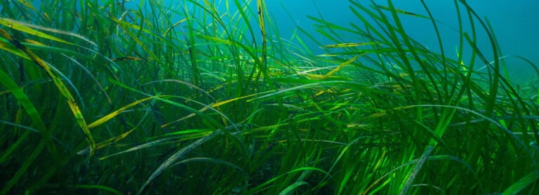
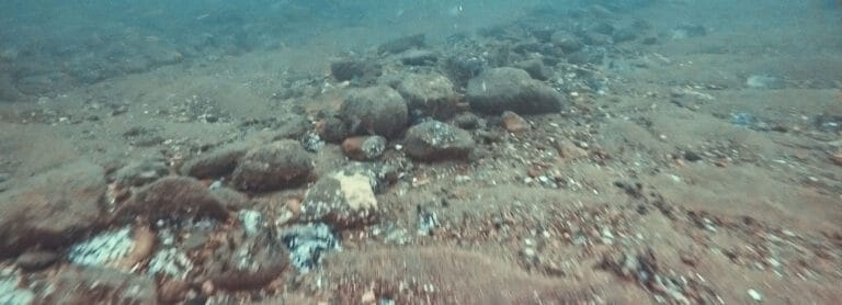
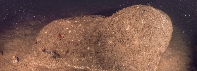
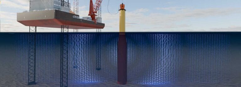
As climate change reshapes coastal environments, resilient solutions depend on understanding the interaction between infrastructure, ecosystems, and communities. INSPIRE delivers integrated coastal science solutions utilizing desktop studies, satellite or aerial imagery mapping, habitat delineation, 3D models of underwater structure from photogrammetry, sound impact modeling, and stakeholder outreach and engagement.
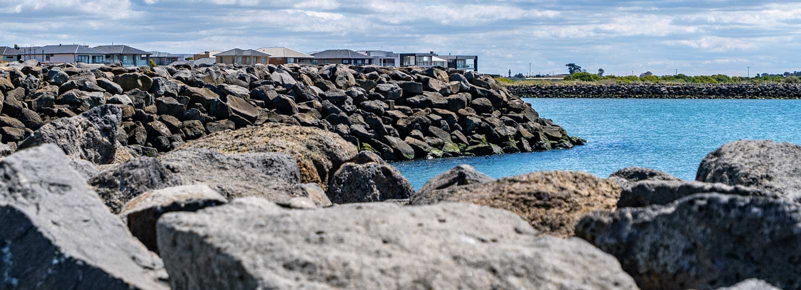

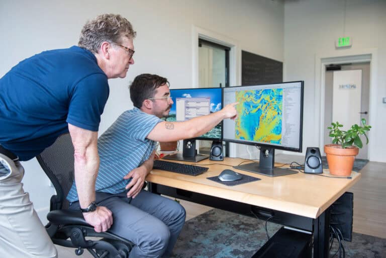
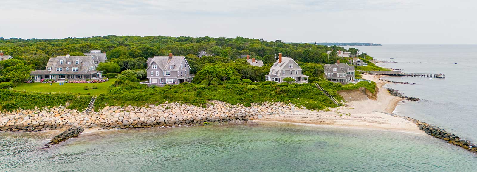
Our scientific team partners with clients to deliver practical, science-based solutions that reduce risk, streamline permitting, and support sustainable project delivery. We apply innovative, fit-for-purpose techniques to evaluate assets, characterize coastal habitats, and identify environmental constraints early—helping projects advance efficiently while minimizing impacts to ecosystems and communities. Using an integrated approach to nearshore site characterization, we provide the environmental data and analysis needed to support infrastructure and shoreline stabilization projects from planning through execution.
INSPIRE provides credible, defensible science in support of offshore wind development by prioritizing non-invasive tools in environmental monitoring.
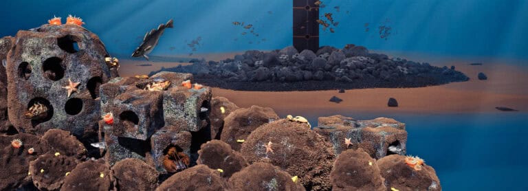
A 3D digital twin is a dynamic virtual model of real-world subsea conditions, built from image-based data, that enables ongoing visualization, analysis, and decision-making without repeated site visits—saving time, reducing costs, and improving environmental insight.