Monitoring of the Historic Area Remediation Site (HARS) (2019 – 2024)
INSPIRE was the prime contractor on the USACE New York District’s contract for monitoring at the HARS, Indefinite Delivery Contract (IDC) for Architectural-Engineering Services for completing the activities described in the Historic Area Remediation Site (HARS) Site Management and Monitoring Plan (SMMP) from 2019 through 2023, with execution of some work continuing in 2024.
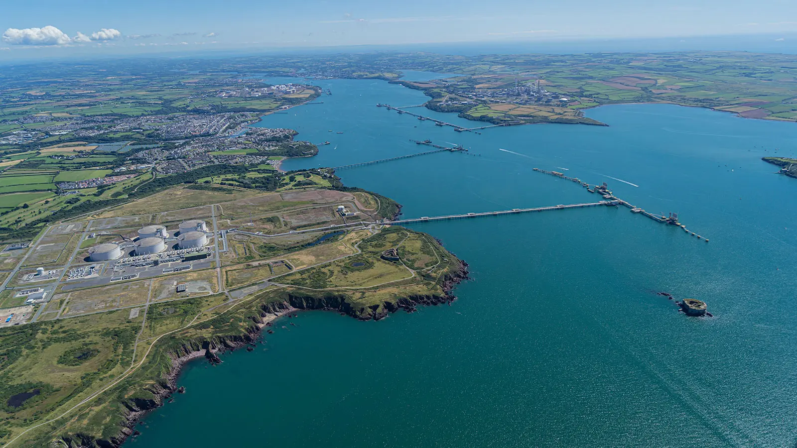
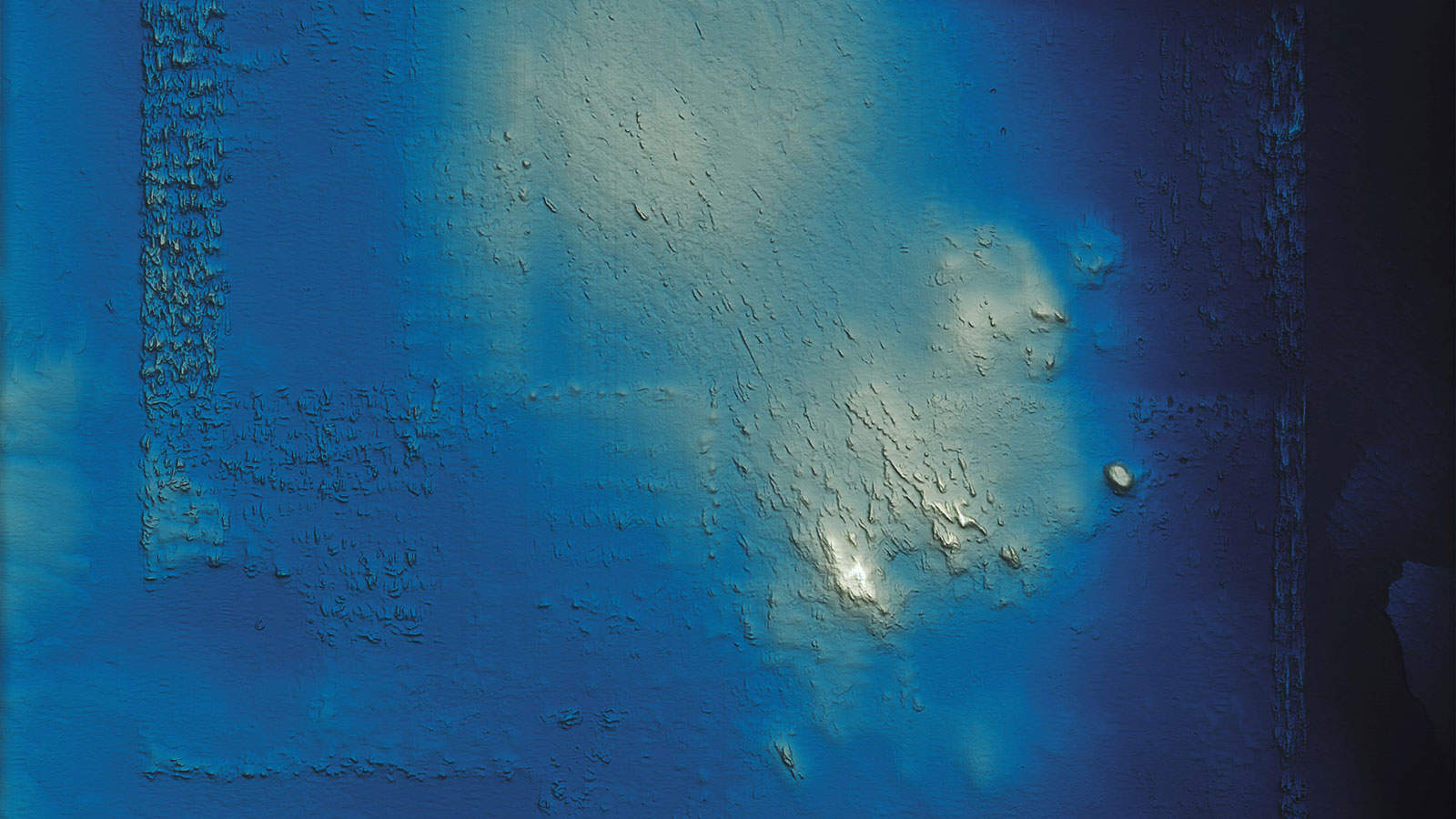
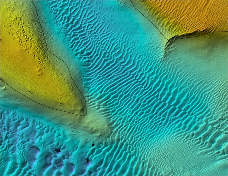
Our team conducted an analytical comparison of bathymetric survey data to assess the status of remediation activities at the Historical Area Remediation Site (HARS) in the New York Bight. GIS analysts normalized an appropriately 20-year record of bathymetric data to a 2017 surface and the performed comparisons for 1, 2, 3, 5, and 10-year periods. Depth change models were developed and analyzed to estimate volumetric coverage of managed units within the HARS. These spatial analyses supported site management and monitoring decisions. These analyses were augmented by an interactive web-visualization with a slider tool that was developed to allow users to compare datasets themselves.
Offshore Surveys
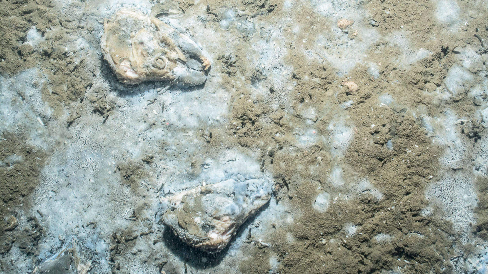
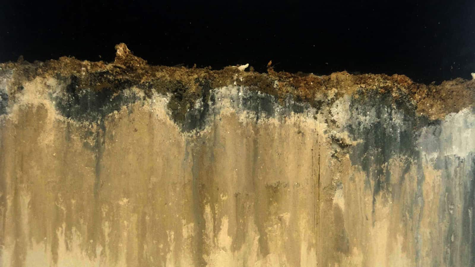
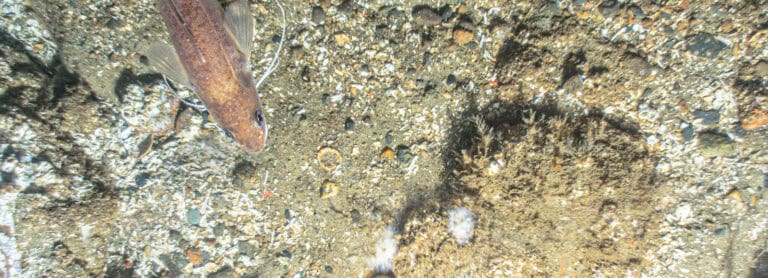
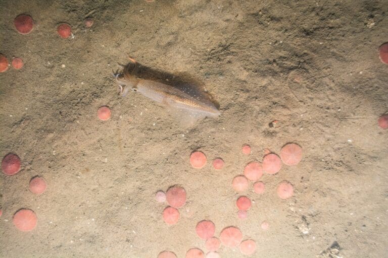
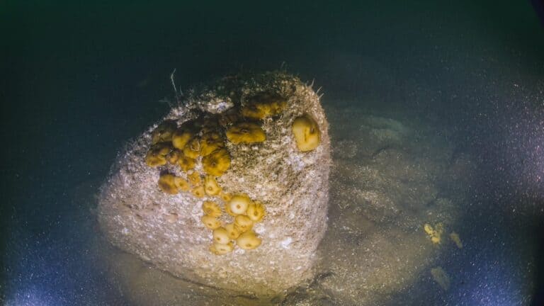
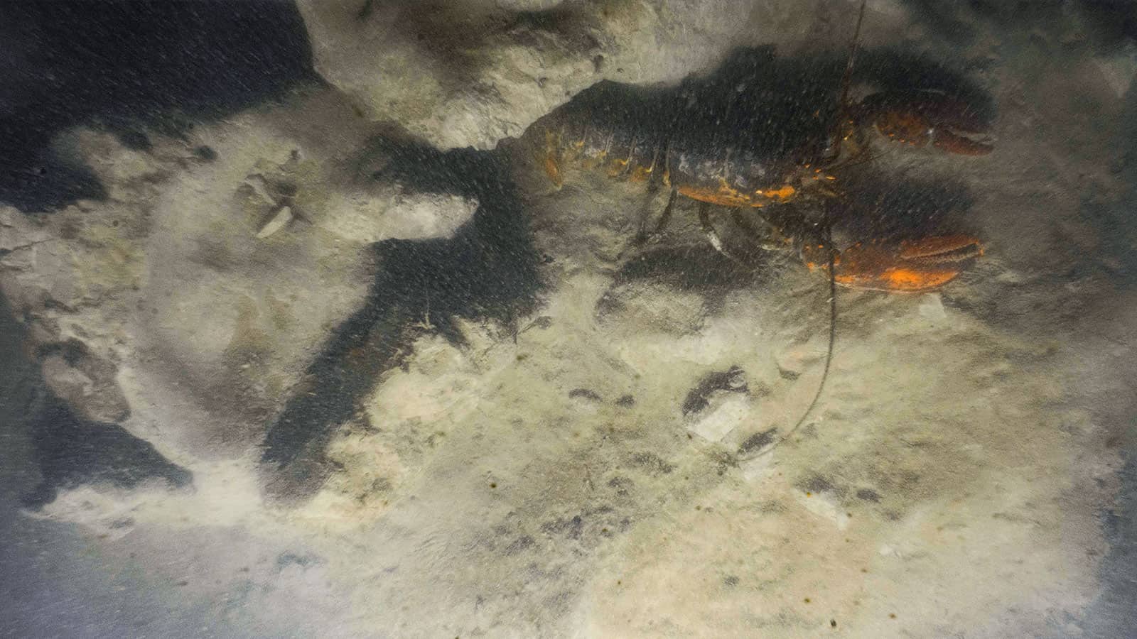
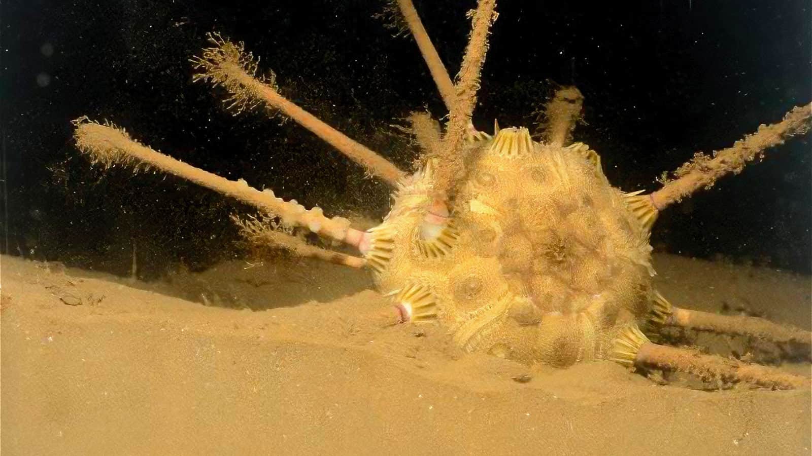
INSPIRE has performed annual bathymetric surveys of the entire site since 2019, as well as targeted offshore surveys to collect sediment, SPI/PV, and ROV images within and adjacent to the site. INSPIRE’s integrated data mapping, GIS and depth difference models supported and were incorporated into the update of the HARS SMMP in 2020. As the site approaches full remediation status, INSPIRE is working with the New York District and the U.S. Environmental Protection Agency, Region 2 to support focused studies to verify that the remediation has caused no significant adverse environmental impact and conducting new desktop and reconnaissance studies to identify potential new disposal areas in the New York Bight.
INSPIRE has successfully executed four MBES surveys of the entire HARS site under this contract with our small business subcontractors.

Cultural Resources and Marine Archaeology
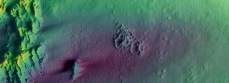
In 2019, our small business subcontractor executed a high-accuracy MBES survey of the entire HARS in conjunction with a comprehensive shipwreck investigation, focused on cultural resources and archaeology. Data were processed to provide high-resolution bathymetric information and backscatter distribution maps. The primary goal for the MBES survey was to assess the distribution and thickness of remediation material across the HARS and generate information about site capacity. The 2019 bathymetry and backscatter data were compared to 2018 and 1998 data to assess changes at the site. The primary goal for the targeted, cultural resource, archaeological shipwreck investigation was to process and analyze previously collected 2010 towed side-scan and 2018 multibeam side-scan data across the entire HARS and generate a series of georeferenced side-scan images of the shipwreck buffer zones.
Interested in speaking with us about your projects?
Contact INSPIRE Environmental today for additional Information about our services


US EPA Dredged Material Monitoring