


Why SPI?
Learn more about the benefits of using SPI (Sediment Profile Imaging) technology.
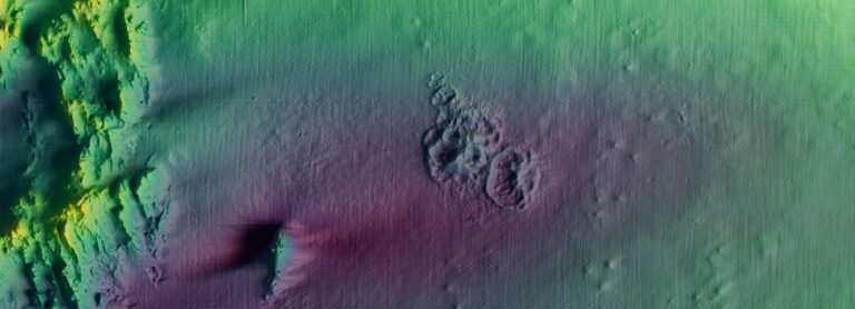
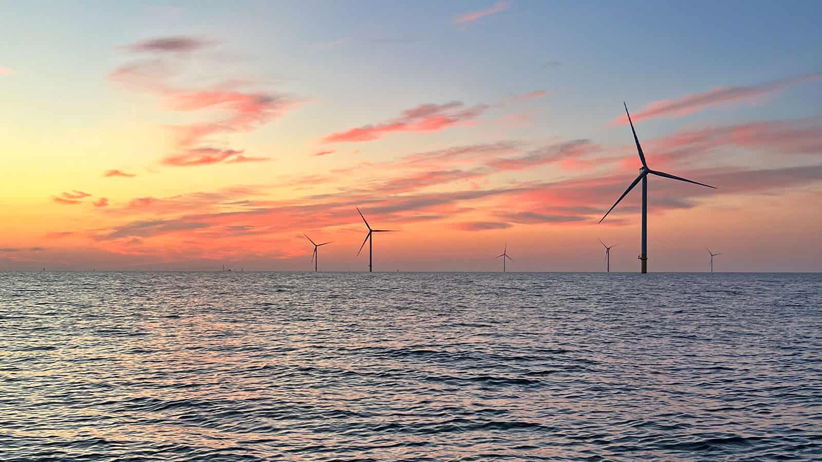
We are global experts in conducting benthic habitat assessments supporting offshore wind development, integrated sediment management, ecosystem restoration, aquaculture, and other projects. Relying largely on non-extractive and adaptive sampling approaches, we helped set the standards for benthic assessments for the U.S. offshore wind industry and dredged material management.
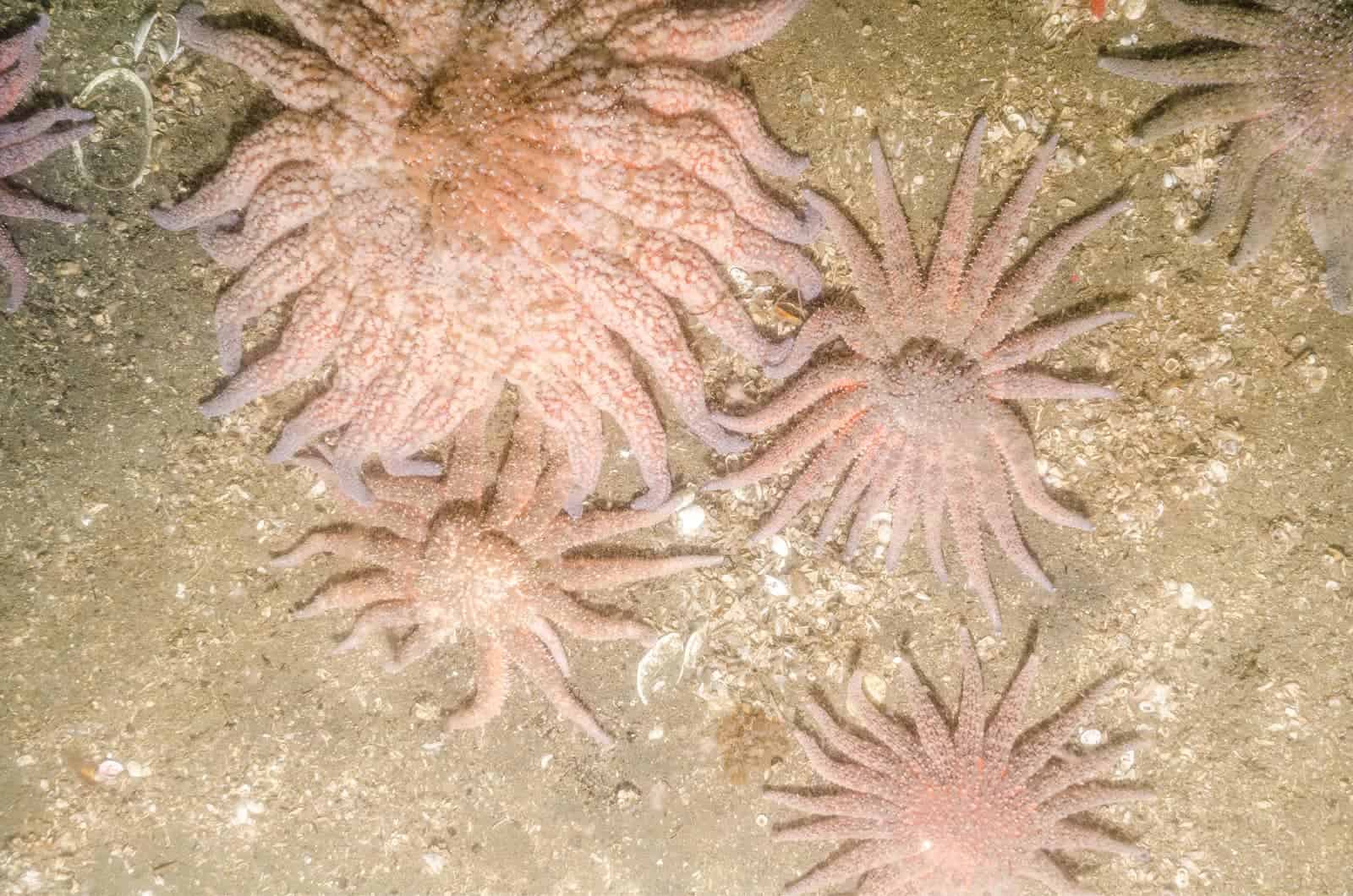
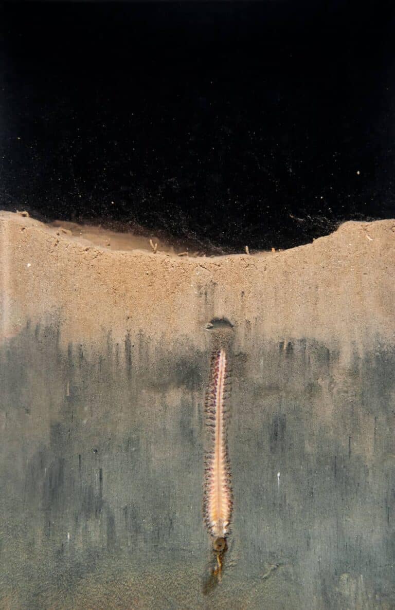
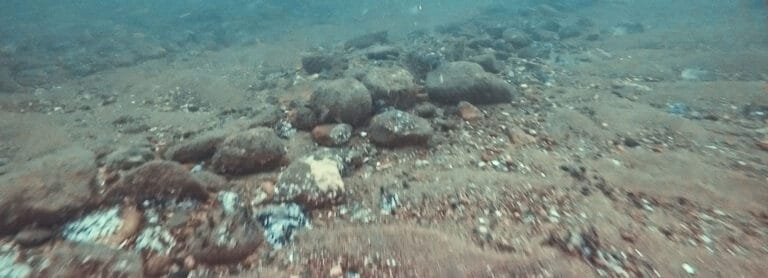
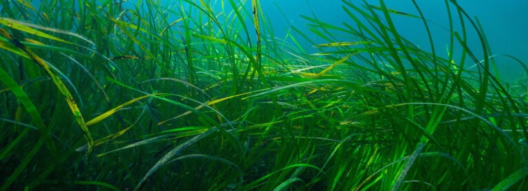
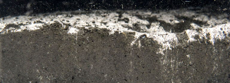
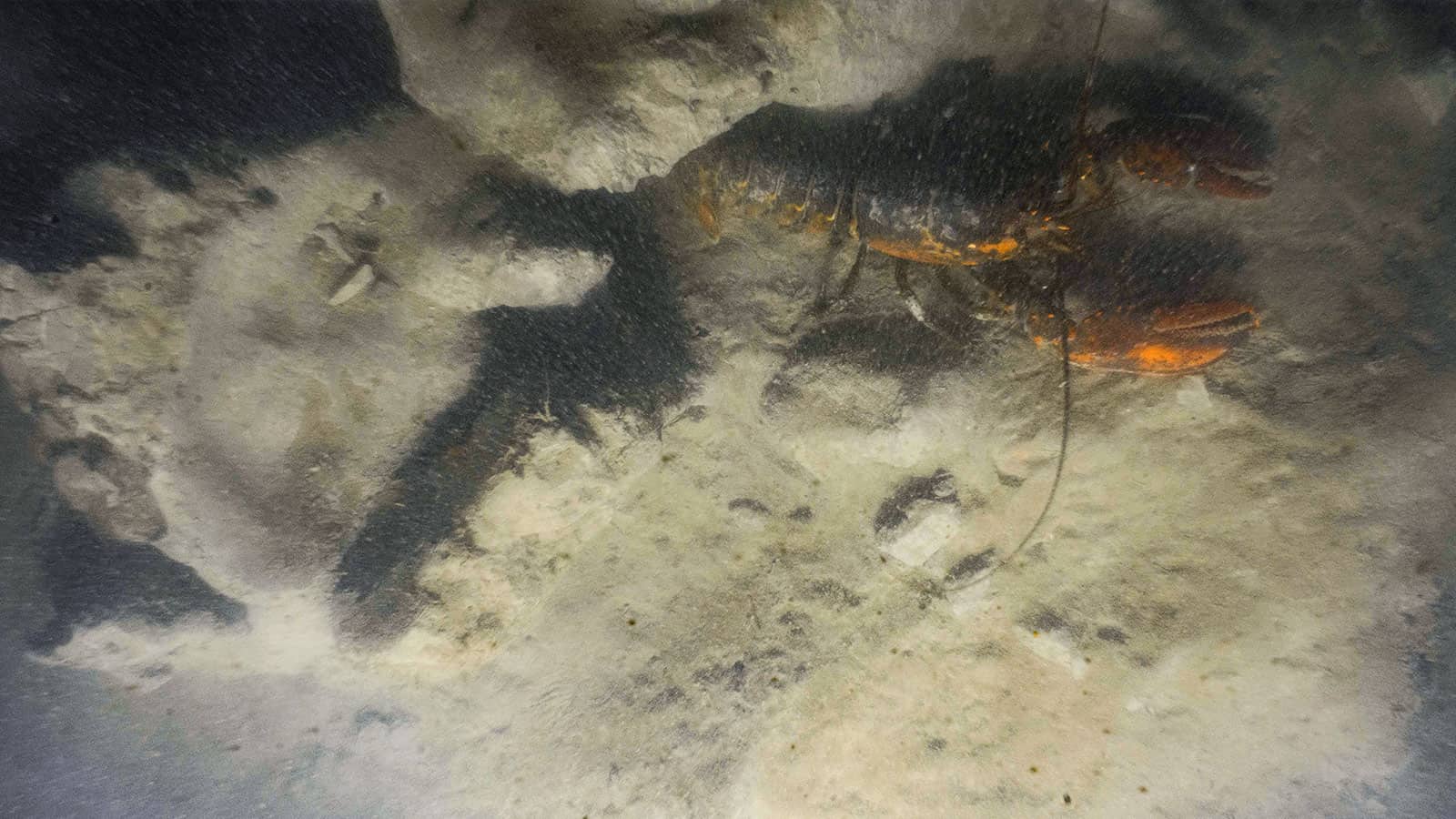
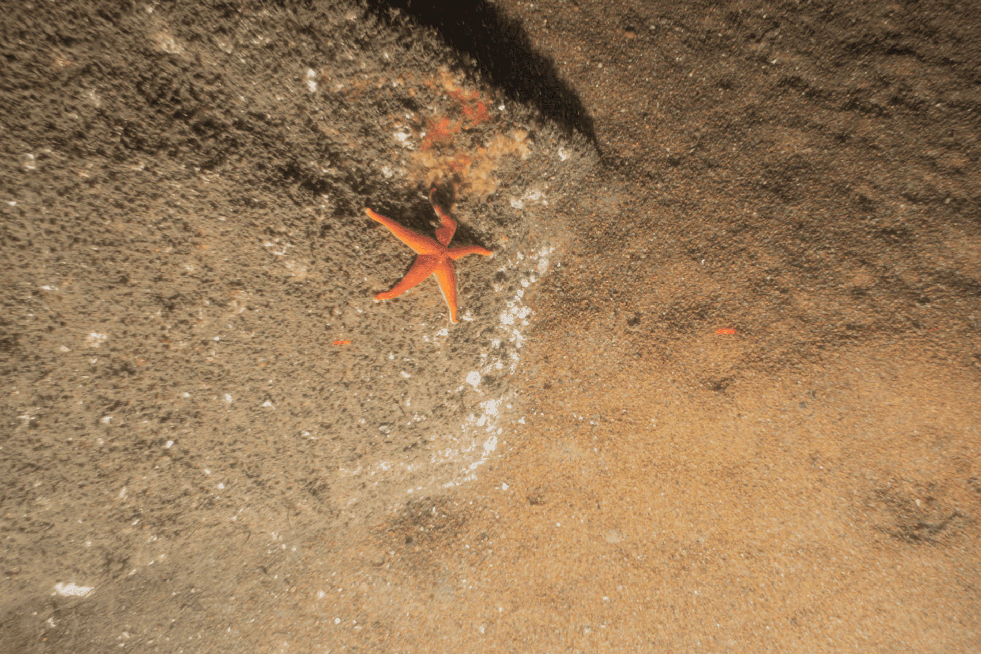
As the original developers of Sediment Profile Imaging (SPI), our staff has unparalleled expertise in benthic imaging, analysis, and interpretation. Our scientists are well-versed in the use of SPI/PV imagery to assess soft sediment functions such as organic matter processing, biogenic habitat, and food provisioning.

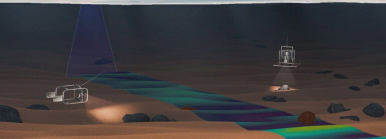
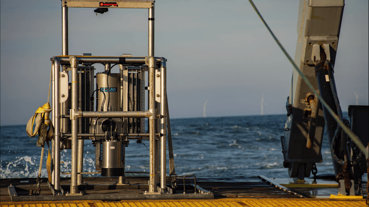
We deploy SPI/PV and other equipment worldwide, employing adaptive sampling to ensure effective and efficient campaigns that meet detailed project objectives. Data acquisition is led by our knowledgeable scientists, who provide extensive experience in interpreting imagery onboard to assess spatial patterns in real-time, adjusting sampling as needed to ensure comprehensive assessments.

Senior Director, Head of UK Initiatives

VP of Data Acquisition

Senior Director of Data Science
We collected SPI/PV imagery at 161 stations within the proposed South Fork Wind Farm, along the transmission cable route, and at reference stations. A comprehensive report summarizing sediment types, bedforms, and types of biota observed was provided to BOEM as an Appendix to the COP.
Learn more about the benefits of using SPI (Sediment Profile Imaging) technology.
Sediment profile imaging (SPI) technology has been used in some form since 1969 to investigate the structure and appearance of near-surface aquatic sediments.
Delivering superior results at similar or lower cost, SPI/PV offers and ideal solution for offshore energy siting, permitting, and ecological monitoring.