Biological Assessment and Nature-Inclusive Design at Pier 39
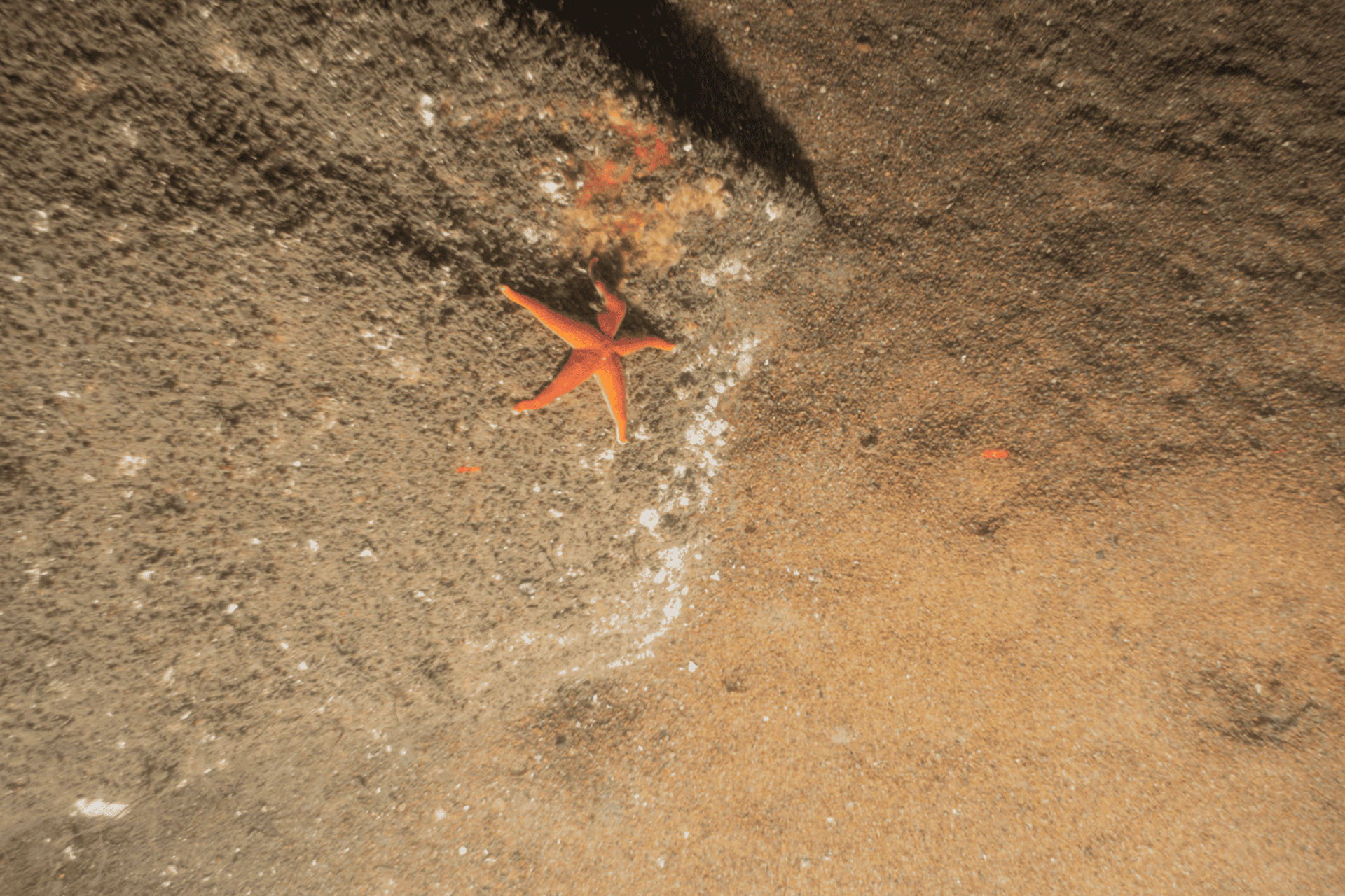
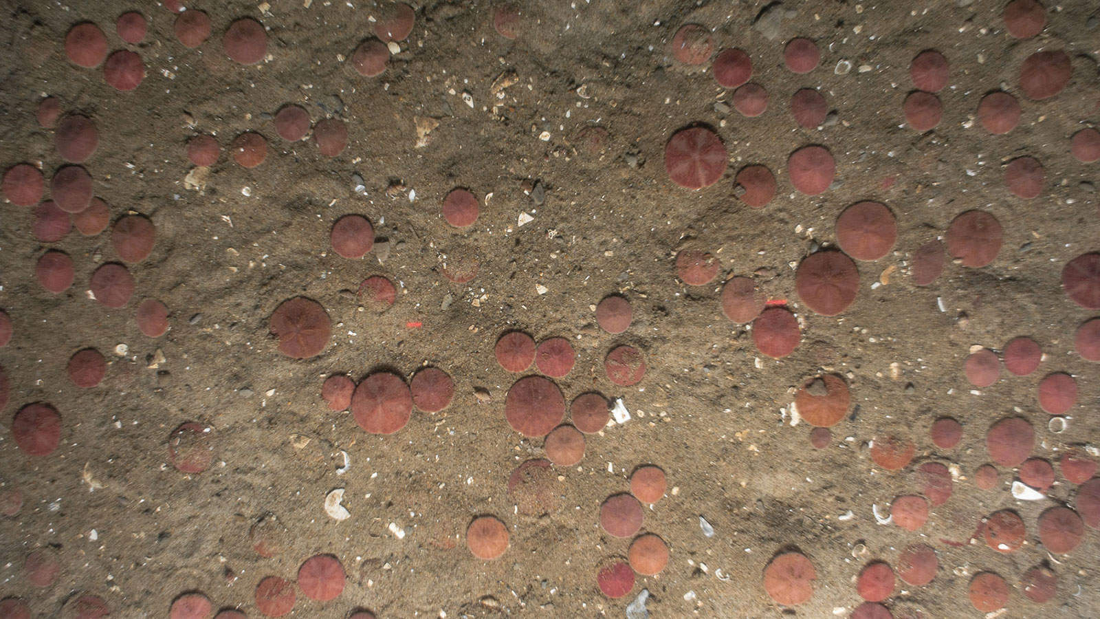
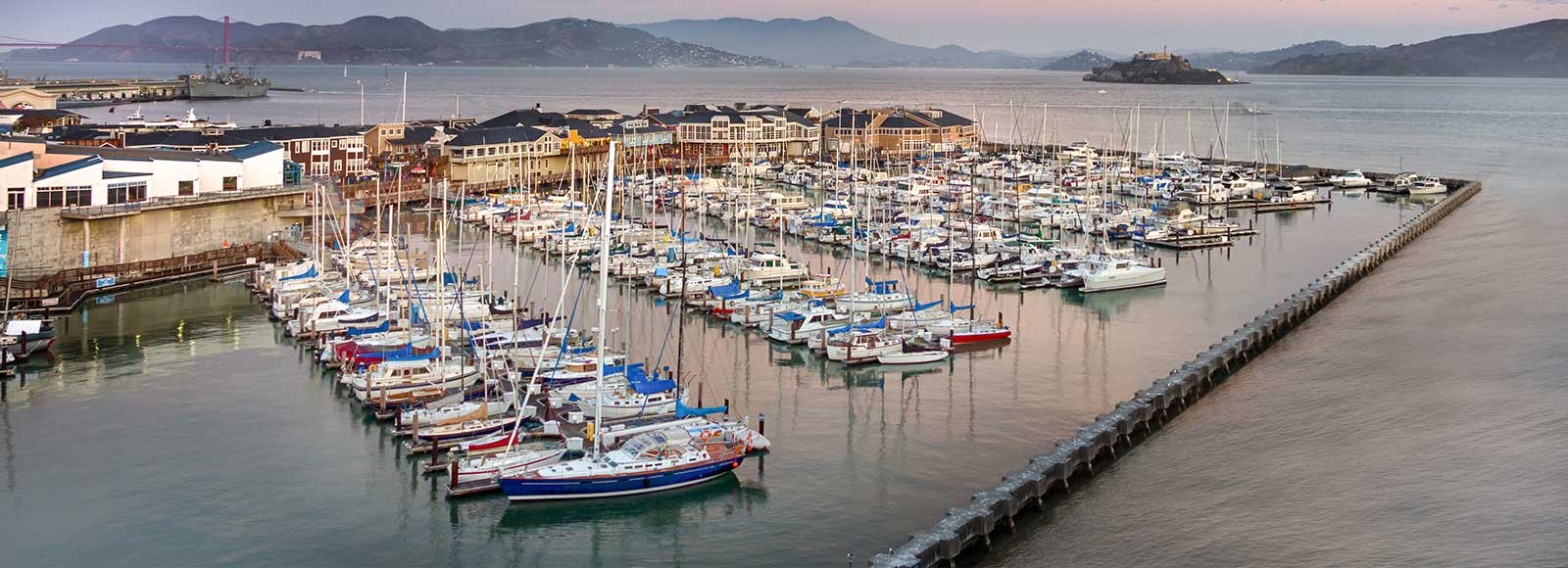
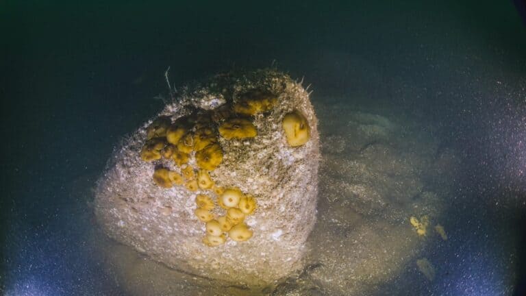
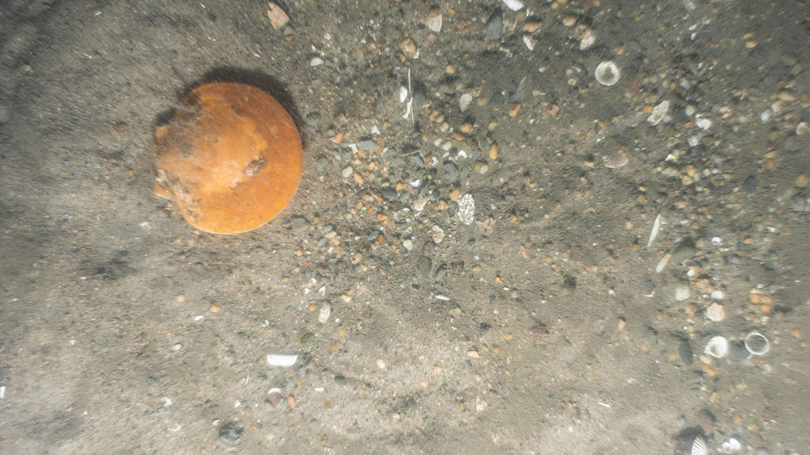
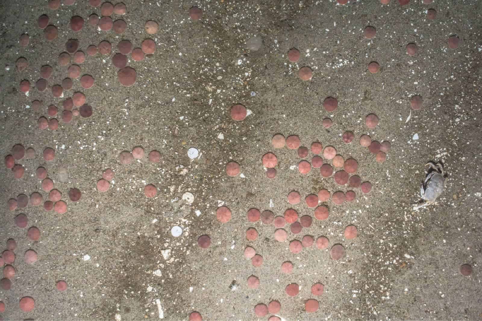
INSPIRE Environmental provided biological assessment support to assist possible change in remediation requirements to reduce the 1:1 ratio of suggested 10-acre offsite compensatory mitigation to offset conversion of habitat across the entire remediation area at Pier 39. The site is located adjacent to Fishermen’s Pier in Downtown San Francisco and is within the San Francisco Bay estuary in shallow water (<10 feet); California Department of Fish and Wildlife conducts trawl surveys in the Bay and the pier is used heavily by recreational and subsidence fishermen. An opportunity was available to potentially shift the compensatory mitigation ratio by including nature-inclusive habitat enhancements as part of the remediation design for hardscape in the remediation area.
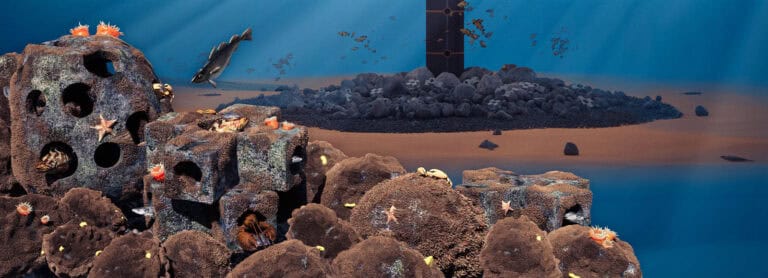
To achieve this, INSPIRE scientists reviewed a list of species and essential fish habitat (EFH) designations to support regulatory assessment (Section 7 Biological Assessment), assessed the potential use of hardscape habitat, and suggested design requirements for enhancement of the hardscape to support specific life stages of selected fish species (e.g., herring, rockfish). Several methods for enhancing hardscape were evaluated and matched to types of areas within the remediation footprint (e.g., pacific oyster shells for nearshore hardscape and subtidal areas, ECOncrete® Piles and Jackets for underneath piers). Recommendations regarding the time of year for installation to be most protective of local fish populations were also provided. For this project, INSPIRE’s benthic and fisheries scientists collaborated to provide design information grounded in benthic ecological conditions and tuned to the habitat needs of local fish and crustacean species life stages.

Interested in speaking with us about your projects?
Contact INSPIRE Environmental today for additional Information about our services


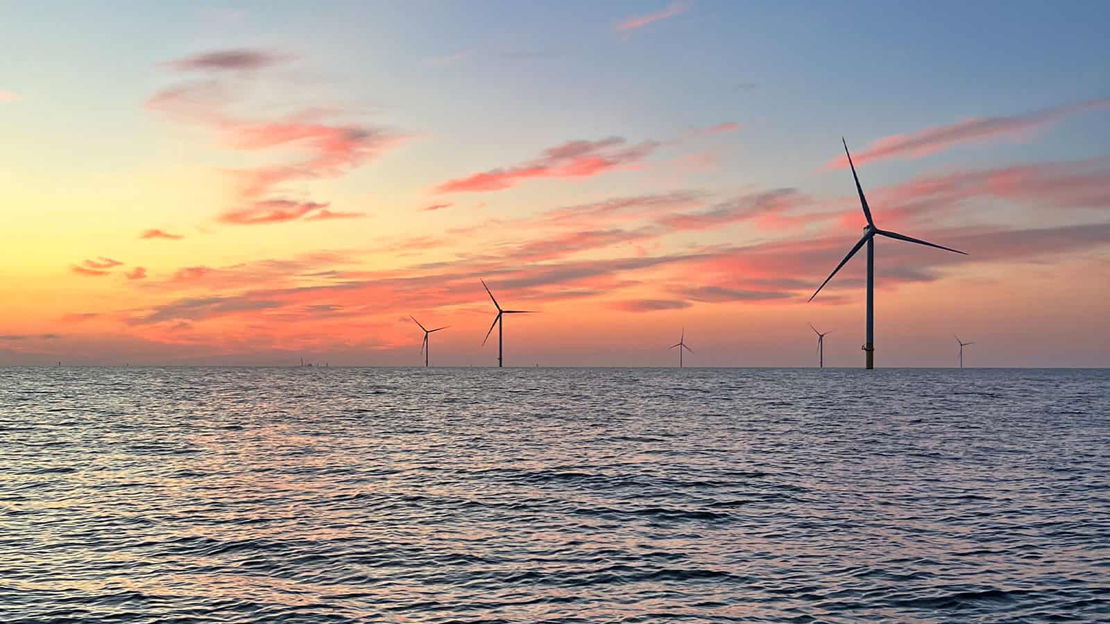
NYSERDA’s Offshore Wind – Master Plan 2.0