Publications
Expertise
Sector

Videos |
2.27.26
Forward Scouting With Venterra
Forward Scouting is an adaptive surveying technique designed to de-risk the cable routing selection process through a flexible survey design that is adjusted in situ as data are acquired and assessed against the overall project objectives.

Brochures |
2.25.26
3D Digital Twins
A 3D digital twin is a dynamic virtual model of real-world subsea conditions, built from image-based data, that enables ongoing visualization, analysis, and decision-making without repeated site visits—saving time, reducing costs, and improving environmental insight.
Videos |
2.25.26
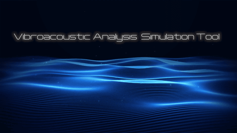
Venterra VAST – Acoustic Modelling
Learn how INSPIRE and Venterra use VAST, our 3D numerical physics based acoustic model, to predict underwater noise with industry-leading precision.

Videos |
2.18.26
INSPIRE Popup Maps
Learn more about advanced visualization of marine data with INSPIRE Popup Maps.

Videos |
2.18.26
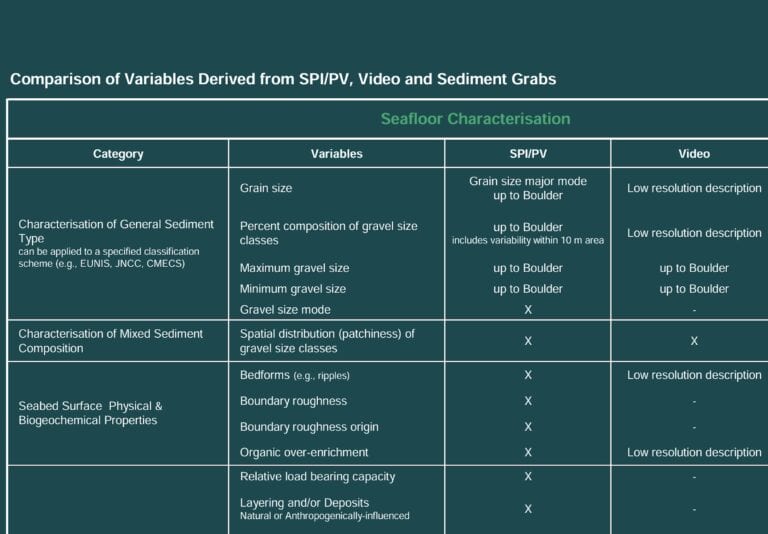
Why SPI?
Learn more about the benefits of using SPI (Sediment Profile Imaging) technology.

Videos |
2.17.26
Sediment Profile Imaging Camera – How It Works
Learn more about how the SPI (Sediment Profile Imaging) camera works.
Webinars |
7.30.25
Benthic Habitat Research for Offshore Wind (Learning from the Experts)
In this webinar, Annie Murphy with INSPIRE Environmental discusses the importance of conducting long-term monitoring of benthic habitats during offshore wind development and how research findings – both from mature projects in other parts of the world and recent projects in the United States – can impact future decision making.
Webinars |
7.11.25
Offshore wind consenting framework in Portugal
Brochures |
7.11.25
Auction & Leasing Advisory Services
Brochures |
7.11.25